Login

Forgot your login?

Cookies have to be accepted!
Your browser's cookie functionality is disabled. Please enable this functionality.

Not a member yet?

Register now
Login

Available for registred users only

Log in to use this feature.

Forgot your login?

Cookies have to be accepted!
Your browser's cookie functionality is disabled. Please enable this functionality.

Not a member yet?

Register now
Filter
Categories
Advanced filters
  • Distance (km)
  • Height
Save filters Reset filter

TrackRank

QRCode

Technical data

Distance23,6 km Height785 m Way down781 m Duration02:30 h:m Date22.05.2013
Scores Author Landscape Fun factor Fitness Technique

Statistics

948 Views 1 Score 189 Downloads 3.00 Average
Rate
  • Track data sheet
  • Directions
  • Downloads

Die Tour war eine geführte Tour bei Tramuntana Tours.

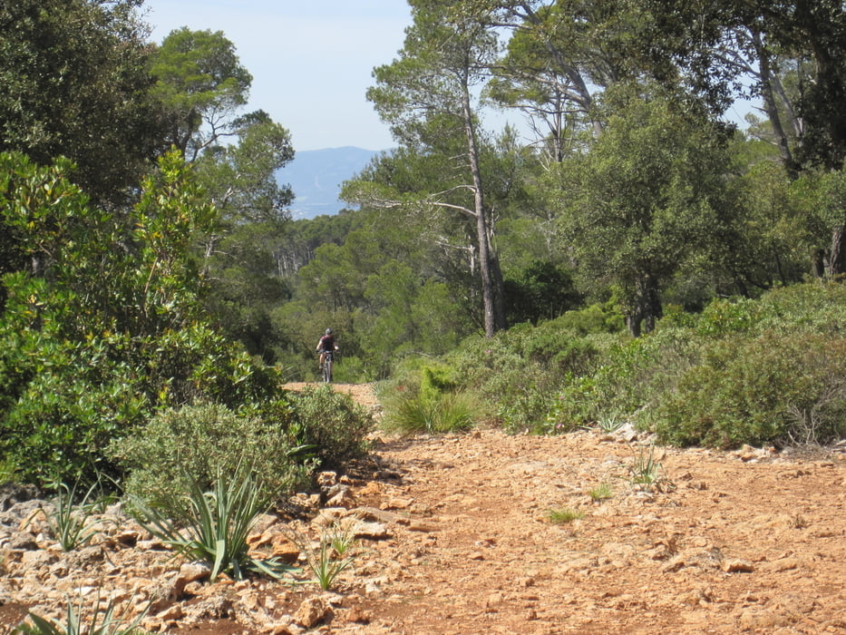
Start in Bunyola und Uphill auf Strße Richtung Penyal de Honors. Diese kommt bald an einem Tor an, welches man rechts umgehen kann. Im weiteren Verlauf wird der Weg zur Piste. Im letzten Abschnitt wird der Anstieg noch einmal steil aber bleibt mit etwas Einsatz fahrbar. Es folgt eine Abfahrt über steinige Trails und eine zweite Auffahrt um noch einmal über einen anderen Trail abzufahren. Nach der zwieten Trailabfahrt noch ein kurzes Stück auf Straße zurück zum Auto.
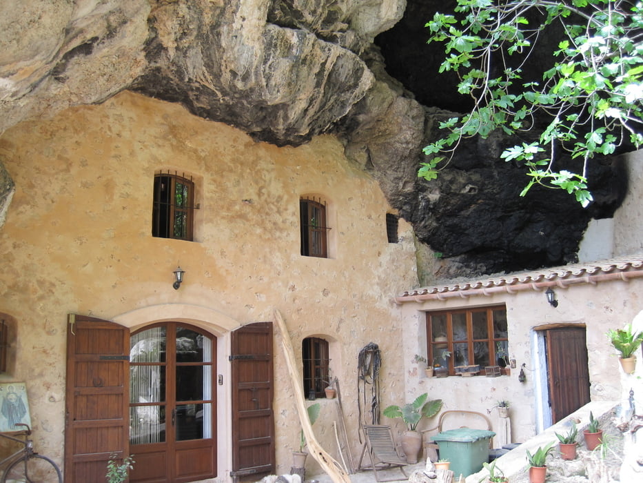
 

Tour gallery

Tour map and elevation profile

  • Open Street Map
  • Google
Minimum height 178 m Maximum height 781 m Detailed view

More about the tour author

st-bike
Member since 2009

Send private message

Comments

VELOSOF on 19.06.2014

LEICHTER AUFSTIEG, TECHNISCHE ABFAHRT

NETTE TOUR ABER MEIST AUF BREITER SCHOTTERSTRAßE. KAUM TRAILS. DIE LETZTE ABFAHRT AB DER INFOTAFEL (CA KM 18) IST S03 NIVEAU UND WESENTLICH TECHNISCHER ALS DDER AUFSTIEG. FÜR S03 FAHRER LOHNENSWERT

Der Aufstieg ist in der Tat nicht sehr schwer, bis auf den ersten Anstieg ganz oben da ist noch eine knackige Stelle. Die erste Abfahrt ist vielleicht kein Trail aber durch den groben losen Schotter zur Zeit unserer damaligen Tour kann man da schon mächtig Spass haben. S3 ist die Abfahrt aber zu keiner Zeit. Alle Stellen waren für uns problemlos befahrbar. Das wäre bei S3 nicht der Fall. Aber am Besten jeder ,macht sich selbst sein Bild.

mit dem Auto nach Bunyola. Parken ist am Tourstart möglich.


GPS tracks

Trackpoints
  • GPX / Garmin Map Source (gpx) download
  • TCX / Garmin Training Center® (tcx) download
  • CRS / Garmin Training Center® (crs) download
  • Google Earth (kml) download
  • G7ToWin (g7t) download
  • TTQV (trk) download
  • Overlay (ovl) download
  • Fugawi (txt) download
  • Kompass (DAV) Track (tk) download
  • Track data sheet (pdf) download
  • Original file of the author (gpx) download

More about the tour author

st-bike
Member since 2009

Send private message
Share track
Add to my favorites
Remove from my favorites
Edit tags
My score
Rate
Track: Bunyolatrailtour
Type: Mountain bike
Distance: 23,6 km
Evaluated on:
Duration:
Day(s)
Hour(s)
Minute(s)
Score: Landscape Fun factor Fitness Technique