


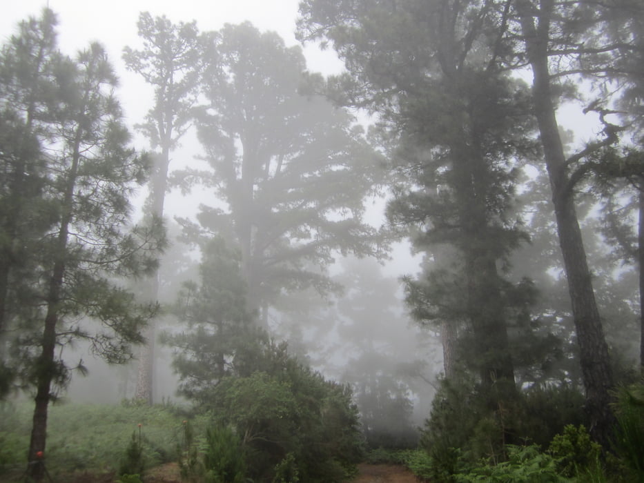
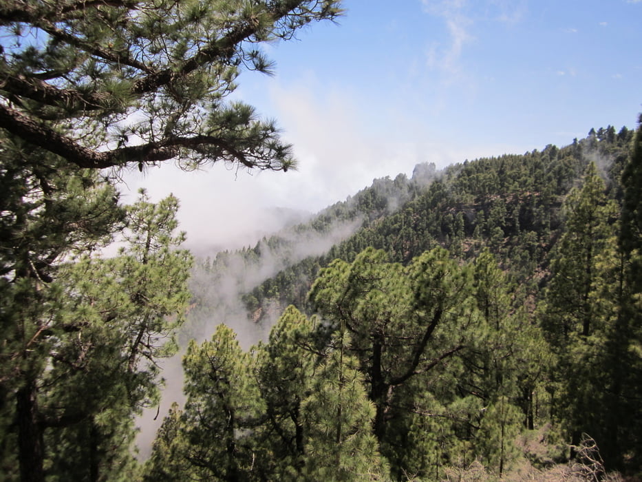
Auffahrt auf einer PIste. Diese führt durch dschungelartiges Gelände und quert öfters den späteren Trail, so lässt sich die Tour auch abkürzen. Aussicht gibt meist nicht viel, aber die Stimmung im Dschungel, besonders wenn man durch die oft dort hängenden Wolken fährt ist mystisch! Oben angekommen kann am Rifugio Puntallana verschnaufen. Brotzeit und Getränke sollte man aber selbst dabei haben, das Rifugio ist nur eine Hütte ohne Bewirtschaftung.
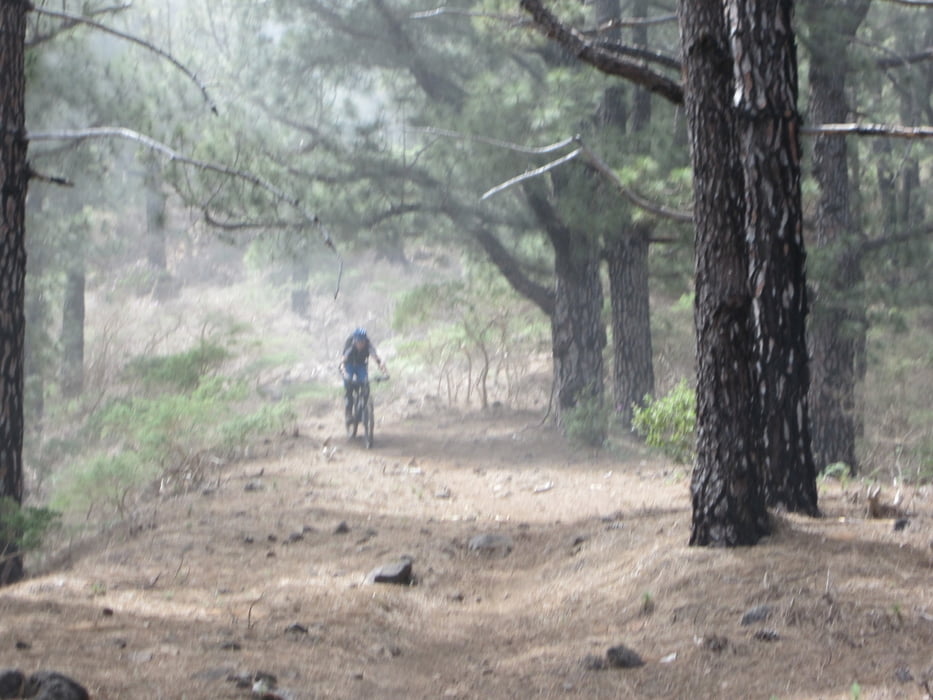
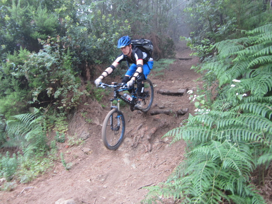
Die Abfahrt ist einfach nur genial. Oben kommen noch kurze steilere Stücke in teilweise leicht ausgesetztem Gelände. Die haben wir geschoben. Weiter geht es flowig, dschungelig, nadelig, steinig, mystisch... absoluter genial!!!
Tour gallery
Tour map and elevation profile
Minimum height 417 m
Maximum height 1761 m
More about the tour author

|
st-bike |
Comments

Parken kann man in Puntallana ohne Probleme. In der Straße bei Trackbeginn gibt es genug Stellplätze.
GPS tracks
Trackpoints-
GPX / Garmin Map Source (gpx) download
-
TCX / Garmin Training Center® (tcx) download
-
CRS / Garmin Training Center® (crs) download
-
Google Earth (kml) download
-
G7ToWin (g7t) download
-
TTQV (trk) download
-
Overlay (ovl) download
-
Fugawi (txt) download
-
Kompass (DAV) Track (tk) download
-
Track data sheet (pdf) download
-
Original file of the author (gpx) download
More about the tour author
|
|
st-bike |
Add to my favorites
Remove from my favorites
Edit tags
Open track
My score
Rate