Login

Forgot your login?

Cookies have to be accepted!
Your browser's cookie functionality is disabled. Please enable this functionality.

Not a member yet?

Register now
Login

Available for registred users only

Log in to use this feature.

Forgot your login?

Cookies have to be accepted!
Your browser's cookie functionality is disabled. Please enable this functionality.

Not a member yet?

Register now
Filter
Categories
Advanced filters
  • Distance (km)
  • Height
Save filters Reset filter

TrackRank

QRCode

Technical data

Distance36,9 km Height665 m Way down1074 m Duration03:53 h:m Date23.05.2013
Scores Author Landscape Fun factor Fitness Technique

Statistics

256 Views Scores 45 Downloads Average
Rate
  • Track data sheet
  • Directions
  • Downloads

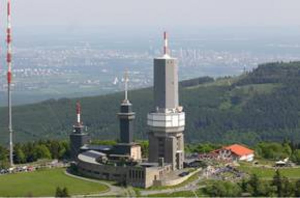
Von Bad Schwalbach Lidl zum Roten Kreuz Feldberg: Übernachtung DHJ Oberreifenberg

Da die Batterien meiner GPSmaus von Polar auf dieser Tour den Geistaufgaben habe ich die Streck über Runtastic nachgezeichnet. Aufzeichnung beginnt vom Roten Kreuz (gegengesetzte Richtung). Sorry Startpunkt ist der Endpunkt;-)
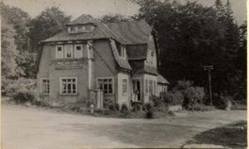
Tour gallery

Tour map and elevation profile

  • Open Street Map
  • Google
Minimum height 285 m Maximum height 699 m Detailed view

More about the tour author

Hanssolo
Member since 2013

Send private message

Comments

GPS tracks

Trackpoints
  • GPX / Garmin Map Source (gpx) download
  • TCX / Garmin Training Center® (tcx) download
  • CRS / Garmin Training Center® (crs) download
  • Google Earth (kml) download
  • G7ToWin (g7t) download
  • TTQV (trk) download
  • Overlay (ovl) download
  • Fugawi (txt) download
  • Kompass (DAV) Track (tk) download
  • Track data sheet (pdf) download
  • Original file of the author (gpx) download

More about the tour author

Hanssolo
Member since 2013

Send private message
Share track
Add to my favorites
Remove from my favorites
Edit tags
My score
Rate
Track: Limes 2.2
Type: Mountain bike
Distance: 36,9 km
Evaluated on:
Duration:
Day(s)
Hour(s)
Minute(s)
Score: Landscape Fun factor Fitness Technique