


- Rundkurs im Uhrzeigersinn
- Start: San Vincenzo(Camping Park Albatros). Bis Montioni(Parkplatz+Bar/Restaurant) ca. 30 Km auf grossteils ruhigen Teerstrassen. Ca. 300 HM.
- Start/Variante: In Montioni/Parkplatz/Bar. Letzte Möglichkeit zum Auffüllen der Wasservorräte. 30 Km - 600 HM - 3,5 bis 4 Stunden.
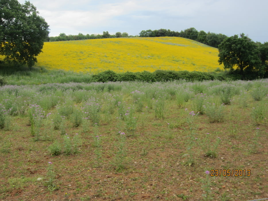
- Die Tour führt durch die Macchia der Toskana, zum Grossteil befahrbar. Einige Male sind Bäche zu durchqueren(30cm Tief). Einige kurze, steile Anstiege, sowie nicht allzuviele Schiebepassagen.
- Ein Mix aus Waldwegen u. Trails
- An entlegenen Bauernhöfen vorbei.
Tour gallery


Tour map and elevation profile
Minimum height 4 m
Maximum height 327 m
More about the tour author
|
|
MargesinFriedrich |
Comments

GPS tracks
Trackpoints-
GPX / Garmin Map Source (gpx) download
-
TCX / Garmin Training Center® (tcx) download
-
CRS / Garmin Training Center® (crs) download
-
Google Earth (kml) download
-
G7ToWin (g7t) download
-
TTQV (trk) download
-
Overlay (ovl) download
-
Fugawi (txt) download
-
Kompass (DAV) Track (tk) download
-
Track data sheet (pdf) download
-
Original file of the author (gpx) download
More about the tour author
|
|
MargesinFriedrich |
Add to my favorites
Remove from my favorites
Edit tags
Open track
My score
Rate