


meist weglose Klippenwanderung über steinige Felsplatten, dadurch dauert sie länger als die Weglänge vermuten läßt, Wanderung entspricht im Wesentlichen der Tour 27 aus dem Rother Wanderführer Ibiza/Formentera 1. Auflage, nur mit festen Schuhen gehbar
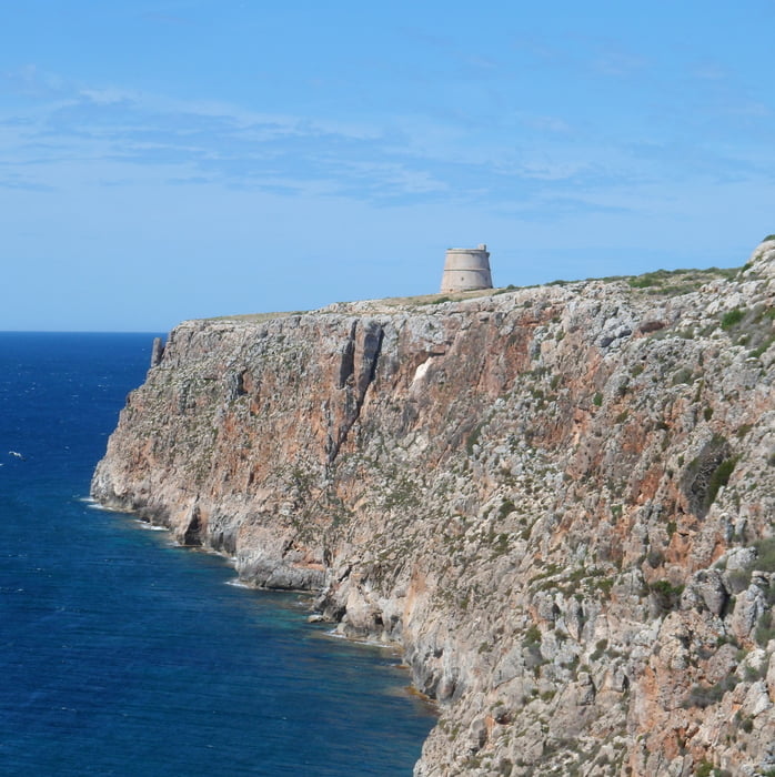
Vom Leuchtturm wendet man sich nach links auf einem Pfad zum Torre d'es Cap und dann weglos am Klippenrand weiter, einige Torrent müssen etwas landeinwärts gequert werden, bis zu einer Trockenmauer (Tanca d'Allà Dins), dann quer über die Halbinsel auf Pfaden und Feldwegen. Dort wo man die Strasse zum Leuchtturm quer, bietet sich eine Pause an (Bank mit Tisch)
Es geht dann auf der Westseite auf der Klippe zum Leuchtturm zurück. Auf alle Fälle sollte man am Leuchtturm die Höhle Sa Cova Foradada besichtigen. Sie spielt in dem spanischen Kultfilm Lucia und der Sex mit Paz Vega eine bedeutende Rolle. Bei unserem Besuch im Mai 13 konnte man über eine improvisierte Leiter (hochgestellte Holzpalette) recht einfach in die Höhle klettern.
Tour gallery


Tour map and elevation profile
Minimum height 38 m
Maximum height 102 m
More about the tour author
|
|
Lanzarottl |
Comments

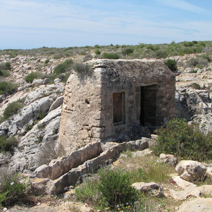
Parkplatz am Leuchtturm am Cap de Barbaria (nicht zu verfehlen)
GPS tracks
Trackpoints-
GPX / Garmin Map Source (gpx) download
-
TCX / Garmin Training Center® (tcx) download
-
CRS / Garmin Training Center® (crs) download
-
Google Earth (kml) download
-
G7ToWin (g7t) download
-
TTQV (trk) download
-
Overlay (ovl) download
-
Fugawi (txt) download
-
Kompass (DAV) Track (tk) download
-
Track data sheet (pdf) download
-
Original file of the author (gpx) download
More about the tour author
|
|
Lanzarottl |
Add to my favorites
Remove from my favorites
Edit tags
Open track
My score
Rate