


Die Wanderung entspricht der Tour 26 des Rother Wanderführers Ibiza/Formentera.
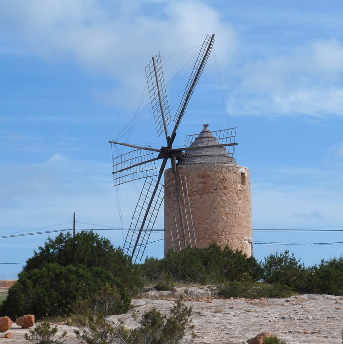
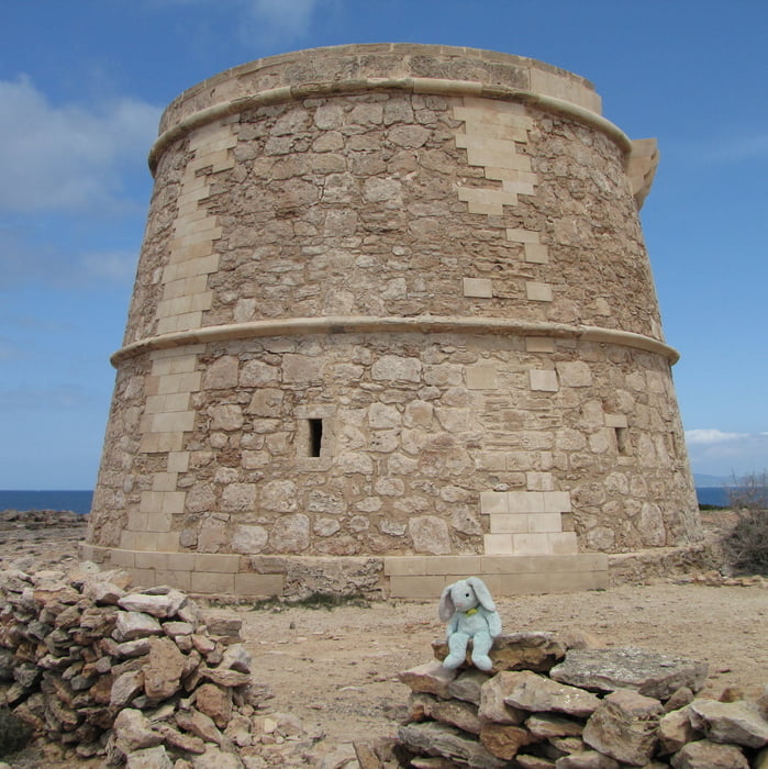
Ausgangspunkt ist die Wehrkirche in Sant Francesc, links von ihr folgt man dem schmalen Sträßchen und gelangt über den Cami de Porto de Dalt aus Sant Francesc heraus, weitestgehend auf Feldwegen erreicht man die Cala Soana, von dort wandert man auf einem Küstenpfad zum Torre de sa Gavina. Von dort folgt man dem ausgeschilderten Weg nach Ca'n Marroig und weiter zum Ufer der Salzwasserlagune Estany d'es Peix. Über den Cami de sa Pedrera und den Cami de Porto Salé erreicht man wieder Sant Francesc.
Tour gallery


Tour map and elevation profile
Minimum height -2 m
Maximum height 68 m
More about the tour author
|
|
Lanzarottl |
Comments

Ausgangspunkt idt die Wehrkirche in Sant Francesc, es gibt mehrere größere Parkplätze in der Nähe des "Zentrums"
GPS tracks
Trackpoints-
GPX / Garmin Map Source (gpx) download
-
TCX / Garmin Training Center® (tcx) download
-
CRS / Garmin Training Center® (crs) download
-
Google Earth (kml) download
-
G7ToWin (g7t) download
-
TTQV (trk) download
-
Overlay (ovl) download
-
Fugawi (txt) download
-
Kompass (DAV) Track (tk) download
-
Track data sheet (pdf) download
-
Original file of the author (gpx) download
More about the tour author
|
|
Lanzarottl |
Add to my favorites
Remove from my favorites
Edit tags
Open track
My score
Rate