


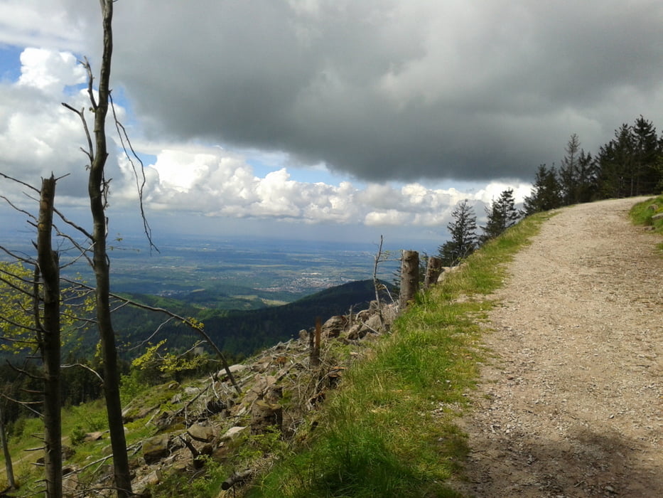
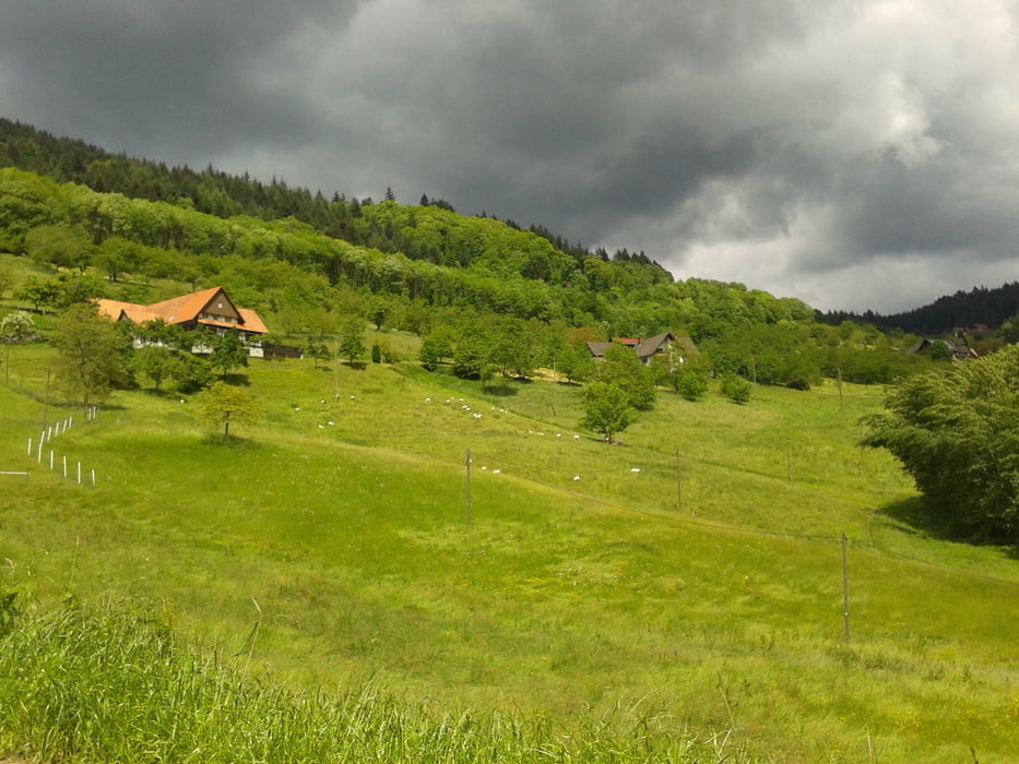
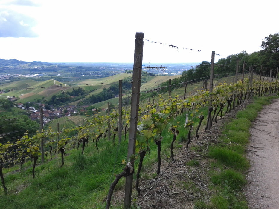
Start ist in Freudenstadt am Stadtbahnhof. Dem Murgtal folgend geht es nach Schönmünzach. Danach gemütlicher Anstieg entlach des Langenbachs bis zum Mummelsee auf 1036m ü. NN. Von dort auf den höchsten Berg des Nordschwarzwaldes - die Hornisgrinde (1163m). Nun geht es fast 1000 hm bergab bis Furschenbach. Nach einer kurzen Talstrecke noch einmal auf 570 m hinauf. Die letzten Kilometer gibt es Aussicht auf herrliche Weinberge und noch einmal schöne Gefällestrecken.
Further information at
http://de.wikipedia.org/wiki/HornisgrindeTour gallery

Tour map and elevation profile
Minimum height 207 m
Maximum height 1169 m
More about the tour author

|
Nakashima |
Comments

Mit dem Auto zur Ecke Wallstraße/Dammstraße navigieren lassen. Dort gibt es kostenlose Stellmöglichkeit für PKW.
GPS tracks
Trackpoints-
GPX / Garmin Map Source (gpx) download
-
TCX / Garmin Training Center® (tcx) download
-
CRS / Garmin Training Center® (crs) download
-
Google Earth (kml) download
-
G7ToWin (g7t) download
-
TTQV (trk) download
-
Overlay (ovl) download
-
Fugawi (txt) download
-
Kompass (DAV) Track (tk) download
-
Track data sheet (pdf) download
-
Original file of the author (gpx) download
More about the tour author
|
|
Nakashima |
Add to my favorites
Remove from my favorites
Edit tags
Open track
My score
Rate