


Krožno pot na Lubnik iz Škofje Loke: vzpon čez Lužo, vrnitev po grebenski poti.
Further information at
http://potepanja-v-naravi.blogspot.com/2013/06/lubnik.htmlTour gallery
Tour map and elevation profile
Minimum height 340 m
Maximum height 1004 m
More about the tour author
|
|
ExAmigan |
Comments

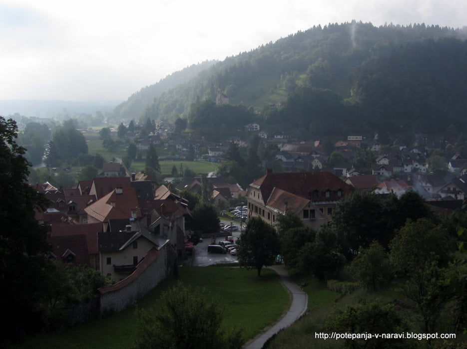
V krožišču pred Škofjo Loko iz smeri Kranja ali Ljubljane zavijemo proti centru, pri prvem semaforju pa levo v smeri Poljanske doline. Na mestu, kjer cesta zavije desno proti gradu, zavijemo levo čez Poljansko Soro in parkiramo za mostom na levi strani ceste na začetku Puštala.
GPS tracks
Trackpoints-
GPX / Garmin Map Source (gpx) download
-
TCX / Garmin Training Center® (tcx) download
-
CRS / Garmin Training Center® (crs) download
-
Google Earth (kml) download
-
G7ToWin (g7t) download
-
TTQV (trk) download
-
Overlay (ovl) download
-
Fugawi (txt) download
-
Kompass (DAV) Track (tk) download
-
Track data sheet (pdf) download
-
Original file of the author (gpx) download
More about the tour author
|
|
ExAmigan |
Add to my favorites
Remove from my favorites
Edit tags
Open track
My score
Rate