


- Rundkurs im Urzeigersinn
- Start: Camping "Il Tridente"
- Piazza Zenit sehr gutes Eis in der Gelateria "Giardino"
- Vom Camping auf Strandsteg ca. 4 Km bis Bibione; Piazza Zenit- evtl. Parkplatz 8€/Tag - bis 4 Stunden gratis mit Parkscheibe.
- Km 15 Bar Trattoria 3 Bacino.
- Km 31 Beginn Ufer des Tagliamento
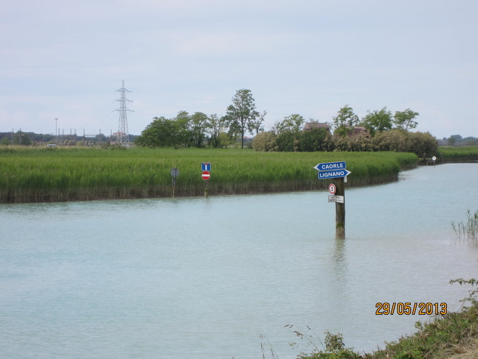
- Km 57 Mündung des Tagliamento in die Adria
- Vom Leuchtturm bis Eisentor ca. 1 Km empfiehlt es sich nahe am Wasser zu fahren, da der Weg versandet ist, und schieben angesagt ist.
Tour gallery
Tour map and elevation profile
Minimum height 1 m
Maximum height 61 m
More about the tour author
|
|
MargesinFriedrich |
Comments

GPS tracks
Trackpoints-
GPX / Garmin Map Source (gpx) download
-
TCX / Garmin Training Center® (tcx) download
-
CRS / Garmin Training Center® (crs) download
-
Google Earth (kml) download
-
G7ToWin (g7t) download
-
TTQV (trk) download
-
Overlay (ovl) download
-
Fugawi (txt) download
-
Kompass (DAV) Track (tk) download
-
Track data sheet (pdf) download
-
Original file of the author (gpx) download
More about the tour author
|
|
MargesinFriedrich |
Add to my favorites
Remove from my favorites
Edit tags
Open track
My score
Rate