


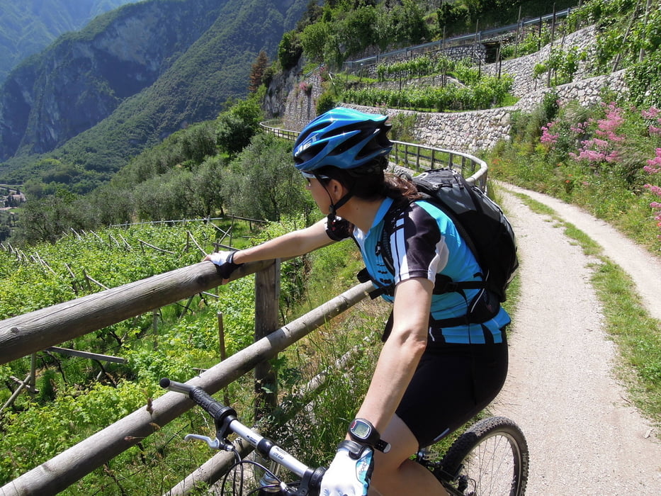
Tourbeschreibung: Ein Track sagt mehr als 1000 Worte.
Siehe auch Tour #116717
Erschwerend bei der Tour war die Einladung eines italienischen Rentners auf seiner Gartenhütte am Berg zum kleinen Glas Rotwein (beim Versuch einfach nur Bergquellwasser aus seiner Gartenbewässerung zu bekommen)
Further information at
http://www.mountaingardabike.com/de/percorsi/garda-sarca-anello-1Tour gallery

Tour map and elevation profile
Minimum height 41 m
Maximum height 419 m
More about the tour author
|
|
Bjoern |
Comments

Auf der Brennerautobahn (A22) Ausfahrt Rovereto Sud – Lago di Garda Nord. Etwa 20 km auf der Strada Statale del Garda bis Riva del Garda.
GPS tracks
Trackpoints-
GPX / Garmin Map Source (gpx) download
-
TCX / Garmin Training Center® (tcx) download
-
CRS / Garmin Training Center® (crs) download
-
Google Earth (kml) download
-
G7ToWin (g7t) download
-
TTQV (trk) download
-
Overlay (ovl) download
-
Fugawi (txt) download
-
Kompass (DAV) Track (tk) download
-
Track data sheet (pdf) download
-
Original file of the author (gpx) download
More about the tour author
|
|
Bjoern |
Add to my favorites
Remove from my favorites
Edit tags
Open track
My score
Rate