Login

Forgot your login?

Cookies have to be accepted!
Your browser's cookie functionality is disabled. Please enable this functionality.

Not a member yet?

Register now
Login

Available for registred users only

Log in to use this feature.

Forgot your login?

Cookies have to be accepted!
Your browser's cookie functionality is disabled. Please enable this functionality.

Not a member yet?

Register now
Filter
Categories
Advanced filters
  • Distance (km)
  • Height
Save filters Reset filter

TrackRank

QRCode

Technical data

Distance59,5 km Height860 m Way down885 m Duration03:45 h:m Date24.03.2005
Scores Author Landscape Fun factor Fitness Technique

Statistics

2159 Views Scores 582 Downloads Average
Rate
  • Track data sheet
  • Directions
  • Downloads
MTB Tour, häufig auf Wanderwegen und Forststrassen über den Seerücken. Kreuzlingen, Wäldi, Haidenhaus Steckborn, Mammern,Gündelhart, Dettighofen,Langenhart, Bommer Weiher, Lengwiler Weiher, Kreuzlingen
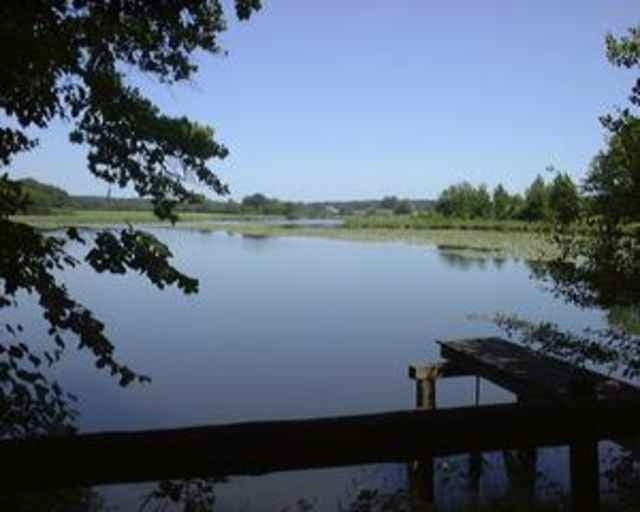
Tour gallery

Tour map and elevation profile

  • Open Street Map
  • Google
Minimum height 405 m Maximum height 717 m Detailed view

More about the tour author

Tourer
Member since 2005

Send private message

Comments

Abfahrt ab Kreuzlingen Hauptbahnhof

GPS tracks

Trackpoints
  • GPX / Garmin Map Source (gpx) download
  • TCX / Garmin Training Center® (tcx) download
  • CRS / Garmin Training Center® (crs) download
  • Google Earth (kml) download
  • G7ToWin (g7t) download
  • TTQV (trk) download
  • Overlay (ovl) download
  • Fugawi (txt) download
  • Kompass (DAV) Track (tk) download
  • Track data sheet (pdf) download

More about the tour author

Tourer
Member since 2005

Send private message
Share track
Add to my favorites
Remove from my favorites
Edit tags
My score
Rate
Track: Seerücken_05
Type: Mountain bike
Distance: 59,5 km
Evaluated on:
Duration:
Day(s)
Hour(s)
Minute(s)
Score: Landscape Fun factor Fitness Technique