

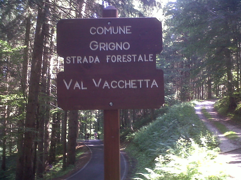
Salita asfaltata che parte da Selva di Grigno molto impegnativa per circa 9km fino ad imboccare un sentiero forestale che si inoltra nel fitto bosco per alcuni chilometri fino a prendere una lunga discesa molto bella e molto veloce tutta sterrata fino a Tezze Valsugana per poi rientrare a Selva di Grigno. Da portare con se scorta d'acqua e da mangiare.
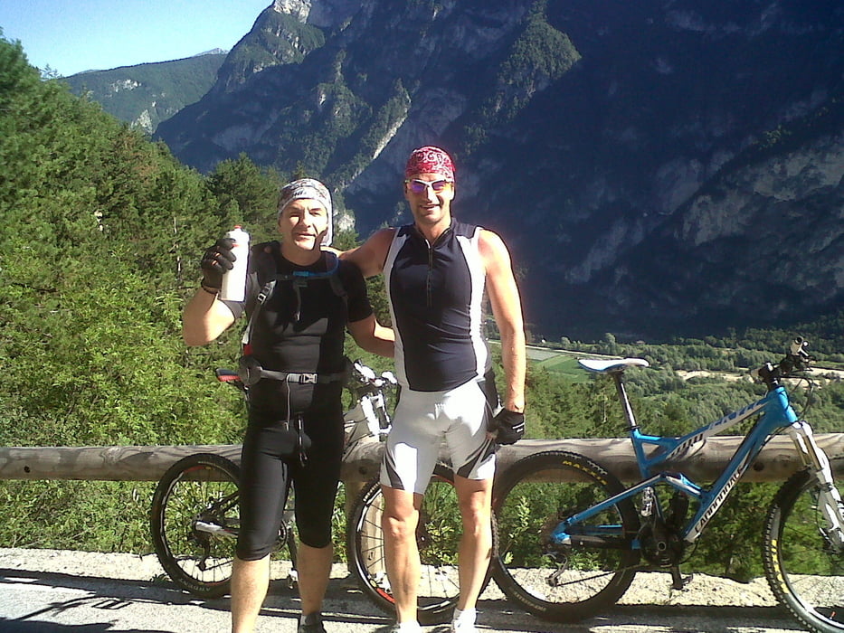
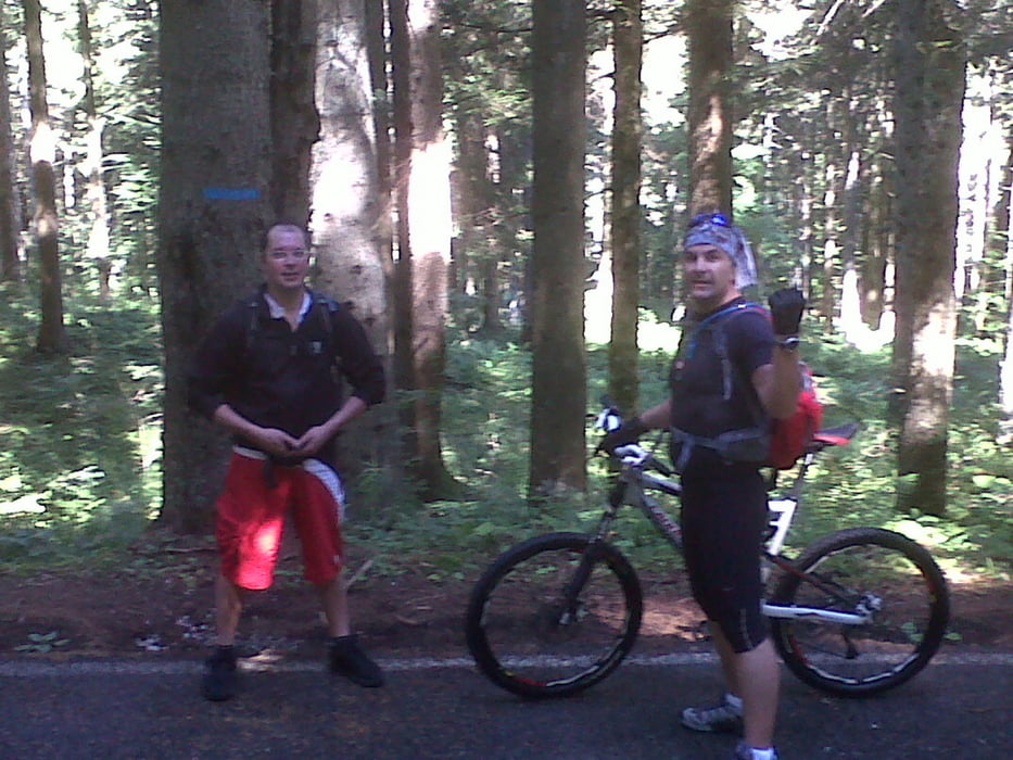
Tour gallery
Tour map and elevation profile
Minimum height 257 m
Maximum height 1502 m
More about the tour author
|
|
denisluca |
Comments

Dalla tangenziale direzione Trento prendere l'uscita Grigno Valsugana in direzione Selva di Grigno dove parte la salita molto impegnativa.
GPS tracks
Trackpoints-
GPX / Garmin Map Source (gpx) download
-
TCX / Garmin Training Center® (tcx) download
-
CRS / Garmin Training Center® (crs) download
-
Google Earth (kml) download
-
G7ToWin (g7t) download
-
TTQV (trk) download
-
Overlay (ovl) download
-
Fugawi (txt) download
-
Kompass (DAV) Track (tk) download
-
Track data sheet (pdf) download
-
Original file of the author (gpx) download
More about the tour author
|
|
denisluca |
Add to my favorites
Remove from my favorites
Edit tags
Open track
My score
Rate