


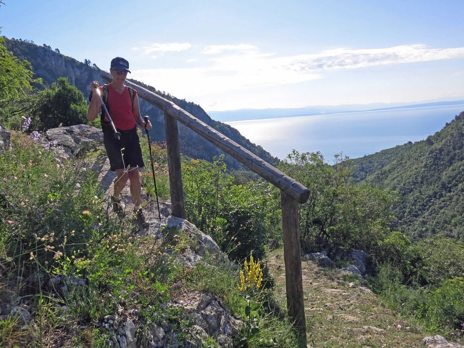
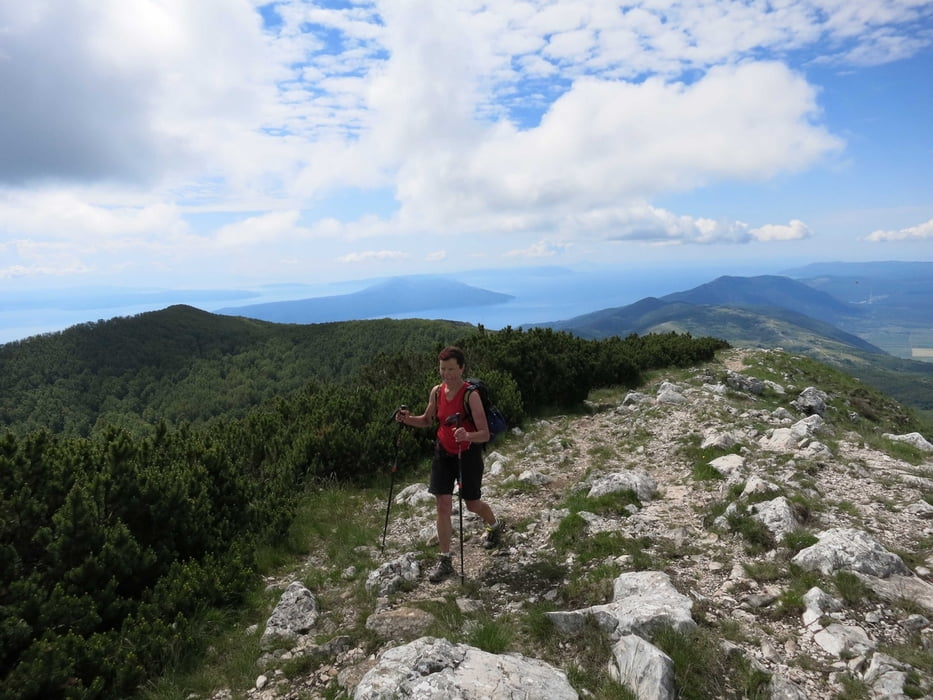
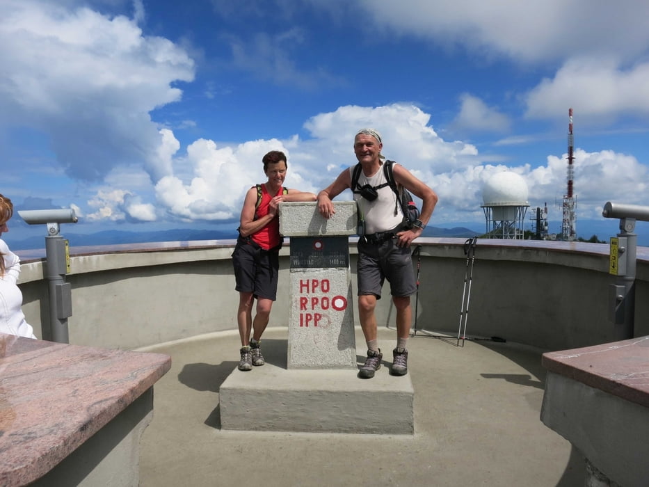
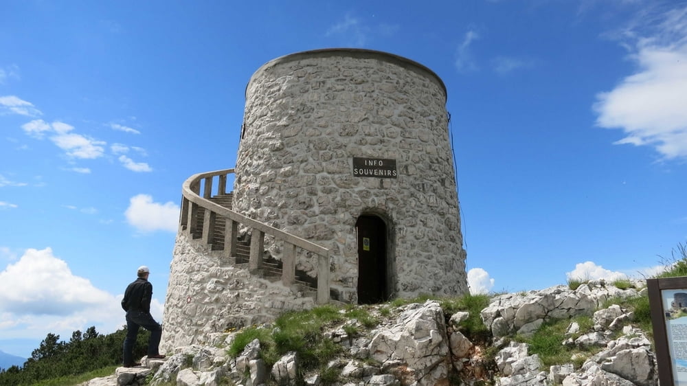
Anstrengengende Bergrundtour von Medveja über Lovranska Draga auf den Vojak, den mit 1400 Metern Seehöhe höchsten Berg Istriens und über das höchste Dorf Istriens Mala Ucka und das verlassene Mühlendorf Trebisca nach Moscenicka Draga. Von dort mit dem Bus auf der Küstenstraße zurück nach Medveja. Die Tour bietet traumhafte Tiefblicke zum Meer und einen Panoramarundblick vom Gipfel über Istrien das Meer und die Inseln. Die Wege sind bestens markiert und in der Wanderkarte Ucka - Naturpark (M1:30.000) eingetragen. Die Karte ist in den örtlichen Tourismusbüros erhältlich.
Tour gallery
Tour map and elevation profile
Minimum height 4 m
Maximum height 1394 m
More about the tour author
|
|
RudolfTill |
Comments

Vonder kroatischen Autobahn A 8 fährtm an bei Matulji ab und über Opatija und Lovran nach Medveja.
GPS tracks
Trackpoints-
GPX / Garmin Map Source (gpx) download
-
TCX / Garmin Training Center® (tcx) download
-
CRS / Garmin Training Center® (crs) download
-
Google Earth (kml) download
-
G7ToWin (g7t) download
-
TTQV (trk) download
-
Overlay (ovl) download
-
Fugawi (txt) download
-
Kompass (DAV) Track (tk) download
-
Track data sheet (pdf) download
-
Original file of the author (gpx) download
More about the tour author
|
|
RudolfTill |
Add to my favorites
Remove from my favorites
Edit tags
Open track
My score
Rate