


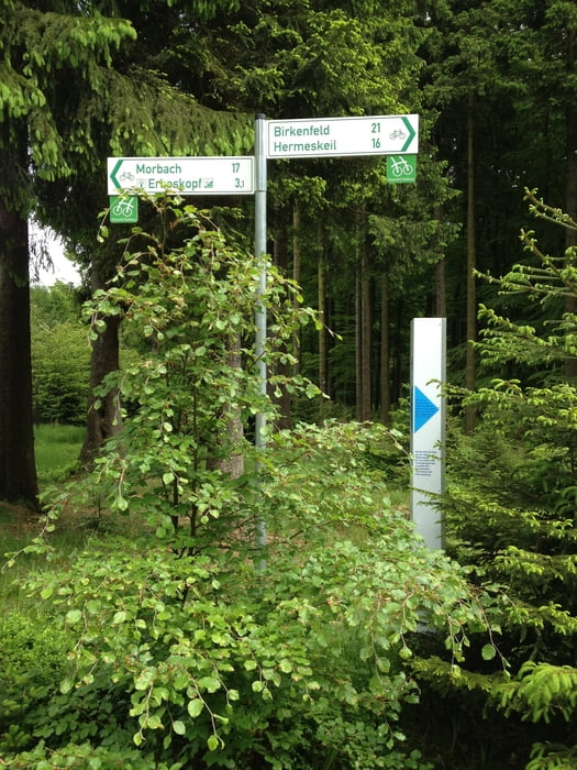
Hunsrück-Radweg
Der Hunsrück Radweg bietet auf 155 km Radfahrvergnügen pur
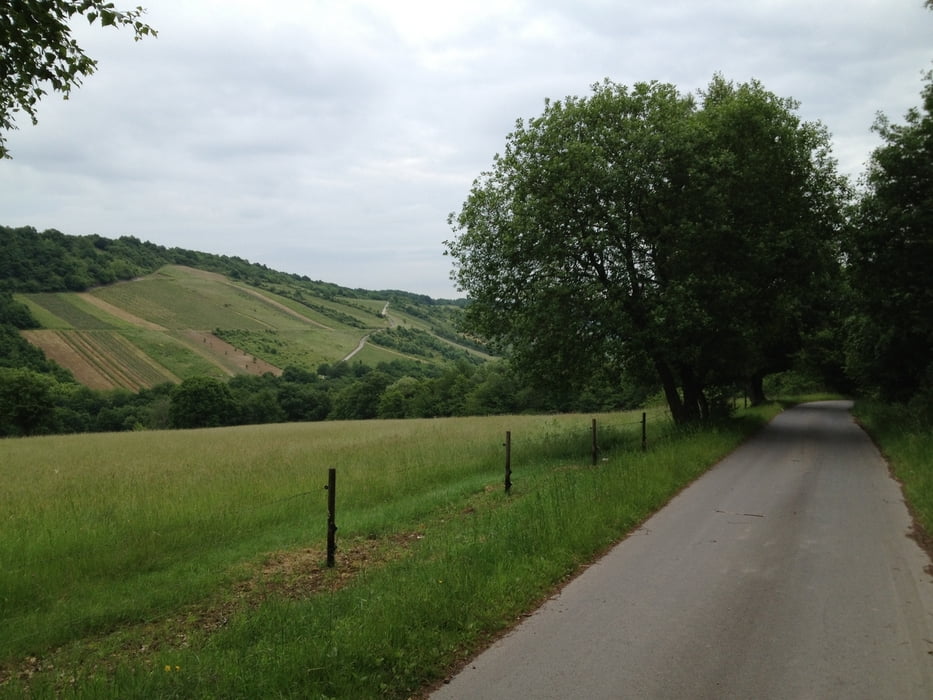
Der Radweg vebindet den Ausgangsort Saarburg mit dem Zielort Bacharach am Rhein. Forst und Wirtschaftswege führen durch unberührte Natur. Lediglich beim Saartal-Aufstieg und der Steigung am Erbeskopf muss man etwas kräftiger in die Pedalen treten.
Die Daten sind von Luxemburg an aufgezeichnet und verbinden die Stadt Luxemburg mit Saarburg.
Tour gallery


Tour map and elevation profile
Minimum height 78 m
Maximum height 823 m
More about the tour author

|
cmandres |
Comments

GPS tracks
Trackpoints-
GPX / Garmin Map Source (gpx) download
-
TCX / Garmin Training Center® (tcx) download
-
CRS / Garmin Training Center® (crs) download
-
Google Earth (kml) download
-
G7ToWin (g7t) download
-
TTQV (trk) download
-
Overlay (ovl) download
-
Fugawi (txt) download
-
Kompass (DAV) Track (tk) download
-
Track data sheet (pdf) download
-
Original file of the author (gpx) download
More about the tour author
|
|
cmandres |
Add to my favorites
Remove from my favorites
Edit tags
Open track
My score
Rate