
")

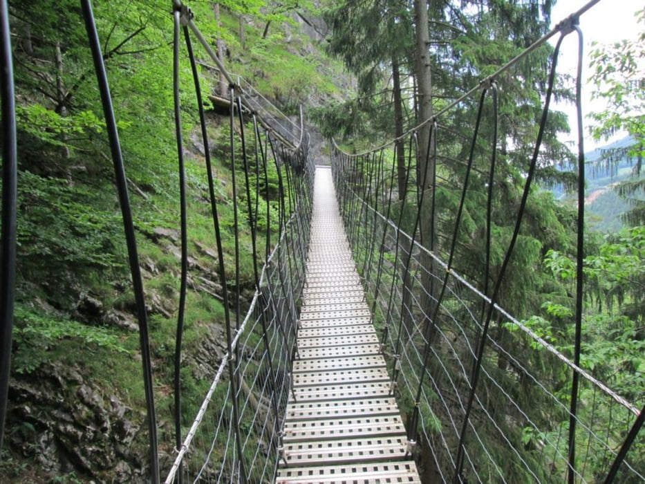
Weg durch die schattige Weizklamm - verbunden mit einigen Weit- und Tiefblicken, stellenweise versicherte Pfade, kleines Geröllstück, einige Höhlen am Weg, eine muss man durchgehen, eine Hängebrücke, die man jedoch umgehen kann: kurz: sehr abwechslungsreiche kleine Wanderung - hin und retour: mit Pause etwa 2,5 Stunden
Tour gallery


Tour map and elevation profile
Minimum height 579 m
Maximum height 755 m
More about the tour author

|
manolf80 |
Comments

Weiz, danach Weizklamm Richtung Passail, Parken in der Nähe des Steinbruches (Bei der Abzweigung beim Schild "Gössental, Familie Neuhold, Schafwollprodukte)
GPS tracks
Trackpoints-
GPX / Garmin Map Source (gpx) download
-
TCX / Garmin Training Center® (tcx) download
-
CRS / Garmin Training Center® (crs) download
-
Google Earth (kml) download
-
G7ToWin (g7t) download
-
TTQV (trk) download
-
Overlay (ovl) download
-
Fugawi (txt) download
-
Kompass (DAV) Track (tk) download
-
Track data sheet (pdf) download
-
Original file of the author (gpx) download
More about the tour author
|
|
manolf80 |
Add to my favorites
Remove from my favorites
Edit tags
Open track
My score
Rate