Login

Forgot your login?

Cookies have to be accepted!
Your browser's cookie functionality is disabled. Please enable this functionality.

Not a member yet?

Register now
Login

Available for registred users only

Log in to use this feature.

Forgot your login?

Cookies have to be accepted!
Your browser's cookie functionality is disabled. Please enable this functionality.

Not a member yet?

Register now
Filter
Categories
Advanced filters
  • Distance (km)
  • Height
Save filters Reset filter

TrackRank

QRCode

Technical data

Distance80,4 km Height2150 m Way down2126 m Duration05:30 h:m Date18.06.2013
Scores Author User Landscape Fun factor Fitness Technique

Statistics

2556 Views 5 Scores 507 Downloads 4.80 Average
Rate
  • Track data sheet
  • Directions
  • Downloads

Starter:

Börn, Folker, Franz, Fritz, Michi, Tom, Roli und Stefan

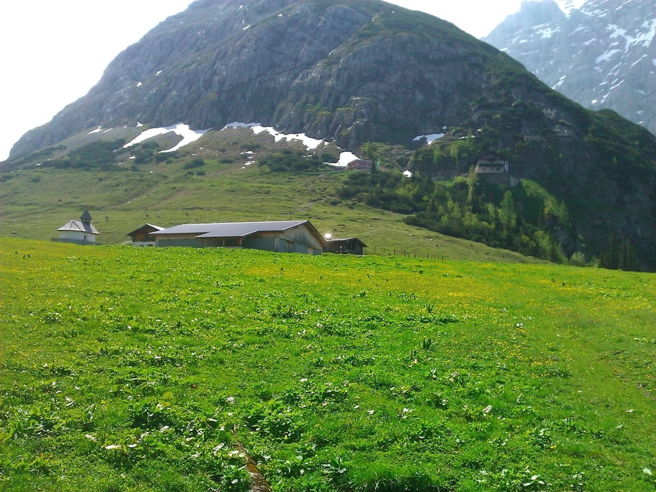
Super Wetter! Kein Sturz und keine Panne;-)

Bemerkungen:

Bei Hinterriß an der Infotafel in den Wald in Richtung Rontal. Dann am Abzweig Richtung Vereinsalm. Das ist zwar steiler, aber auch kürzer und schattiger ;-)

Beim nächsten mal, sollten wir nach der Vereineralm den 'ersten, steilen Trailabzweig' nach Mittenwald ausprobieren.


Tour gallery

Tour map and elevation profile

  • Open Street Map
  • Google
Minimum height 920 m Maximum height 1858 m Detailed view

More about the tour author

asso
Member since 2008

Send private message

Comments

MartinH on 22.09.2013

Tourenklassiker

Super Tour! Die Querung über den kleinen Ahornboden zur Ladizalm hinüber ist ein sehr schöner Trail, bergauf an 2 Stellen gerade so fahrbar. Zur Falkenhütte hin beste Piste, extrem steil aber ebenso alles fahrbar.
Reine Fahrzeit 5:20 kommt gut hin.

GPS tracks

Trackpoints
  • GPX / Garmin Map Source (gpx) download
  • TCX / Garmin Training Center® (tcx) download
  • CRS / Garmin Training Center® (crs) download
  • Google Earth (kml) download
  • G7ToWin (g7t) download
  • TTQV (trk) download
  • Overlay (ovl) download
  • Fugawi (txt) download
  • Kompass (DAV) Track (tk) download
  • Track data sheet (pdf) download
  • Original file of the author (gpx) download

More about the tour author

asso
Member since 2008

Send private message
Share track
Add to my favorites
Remove from my favorites
Edit tags
My score
Rate
Track: Karwendelrunde mit Falkenhütte 2013
Type: Mountain bike
Distance: 80,4 km
Evaluated on:
Duration:
Day(s)
Hour(s)
Minute(s)
Score: Landscape Fun factor Fitness Technique