


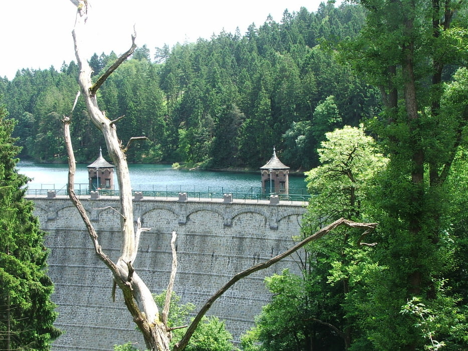
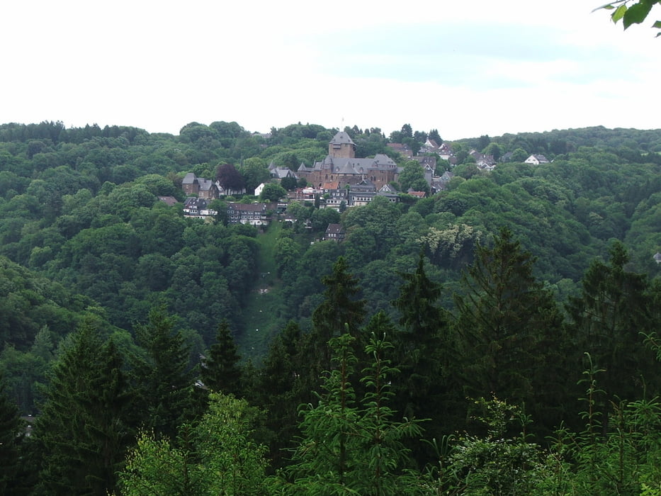
Wegverlauf: Widdert - Wüstenhof - Glüder - Sengbachtalsperre - Schloss Burg - Unterburg - Wiesenkotten - Müngsten
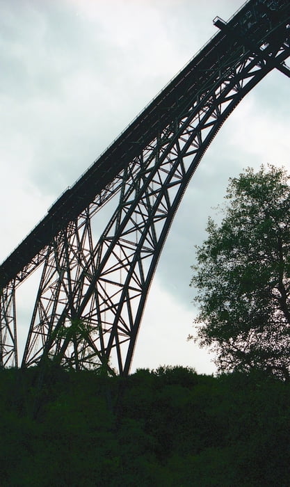
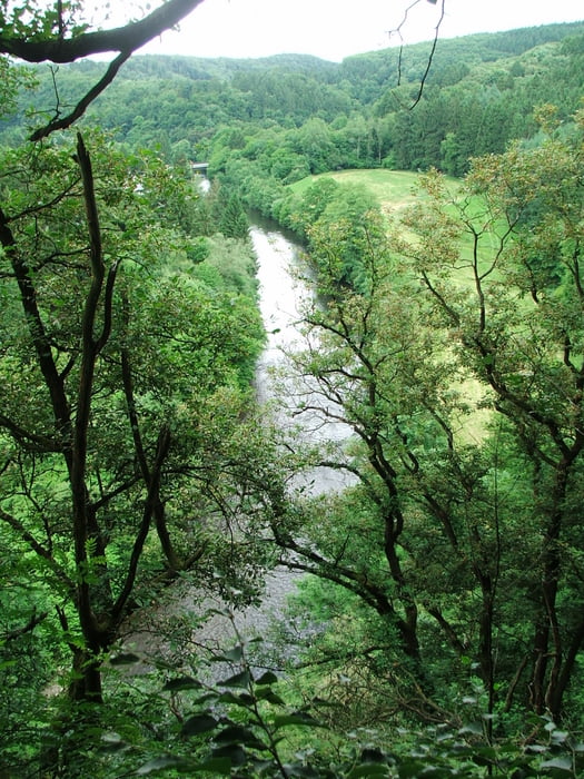
Wanderung mit steilen An- und Abstiegen und schönen Ausblicken. Zum Schluss unterquert man die Müngstener Brücke, die höchste Eisenbahnbrücke Deutschlands.
Tour gallery
Tour map and elevation profile
Minimum height 64 m
Maximum height 221 m
More about the tour author
|
|
lothardomnik |
Comments

Von Wuppertal oder Solingen Hbf. mit RB 47 bis Bf. Solingen Mitte, weiter mit Buslinie 684 oder 686 bis Haltestelle Höfchen.
Ab Müngsten samstags/ sonntags/ an Feiertagen mit Buslinie 687 bis Krahenhöhe, weiter mit 683 bis Bf. Solingen Mitte, weiter mit RB 47 nach Wuppertal oder Solingen Hbf.
Oder unterhalb der Müngstener Brücke links weiter aufsteigen bis zum Bahnhof Schaberg, wo man direkt die Züge der Linie RB 47 erreicht.
In Unterburg gibt es Fahrtmöglichkeit von/ nach Solingen Mitte mit Buslinie 683, so dass die Wanderung auch da begonnen oder beendet werden kann.
GPS tracks
Trackpoints-
GPX / Garmin Map Source (gpx) download
-
TCX / Garmin Training Center® (tcx) download
-
CRS / Garmin Training Center® (crs) download
-
Google Earth (kml) download
-
G7ToWin (g7t) download
-
TTQV (trk) download
-
Overlay (ovl) download
-
Fugawi (txt) download
-
Kompass (DAV) Track (tk) download
-
Track data sheet (pdf) download
-
Original file of the author (gpx) download
More about the tour author
|
|
lothardomnik |
Add to my favorites
Remove from my favorites
Edit tags
Open track
My score
Rate