


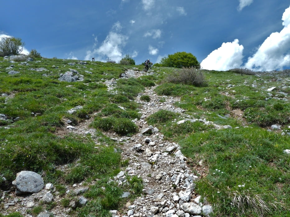
wer ruppige lange Trailabfahrten mag, ist hier gut bedient!
Man kann sich mit dem Auto bis zum Paß Giggio di Tirano fahren (oder Linenbus Loano - Callizano zum Auto holen) lassen, spart 800hm, bliben 600hm, davon ca. 100-200hm- tragen/schieben, je nach Fahrtechnik und Kondition. Alternativ Auffahrt wie bei Carmotour 4.
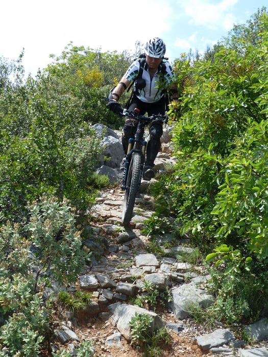
Da hier wenig MTBer unterwegs sind,werft doch 50 größere Steine aus den Wegen, ist nicht viel Arbeit, macht die Strecken besser für den nächsten.
Tour gallery
Tour map and elevation profile
Minimum height 74 m
Maximum height 1388 m
More about the tour author
|
|
skyhopper |
Comments

Start in Toirano an der Straße
GPS tracks
Trackpoints-
GPX / Garmin Map Source (gpx) download
-
TCX / Garmin Training Center® (tcx) download
-
CRS / Garmin Training Center® (crs) download
-
Google Earth (kml) download
-
G7ToWin (g7t) download
-
TTQV (trk) download
-
Overlay (ovl) download
-
Fugawi (txt) download
-
Kompass (DAV) Track (tk) download
-
Track data sheet (pdf) download
-
Original file of the author (gpx) download
More about the tour author
|
|
skyhopper |
Add to my favorites
Remove from my favorites
Edit tags
Open track
My score
Rate