


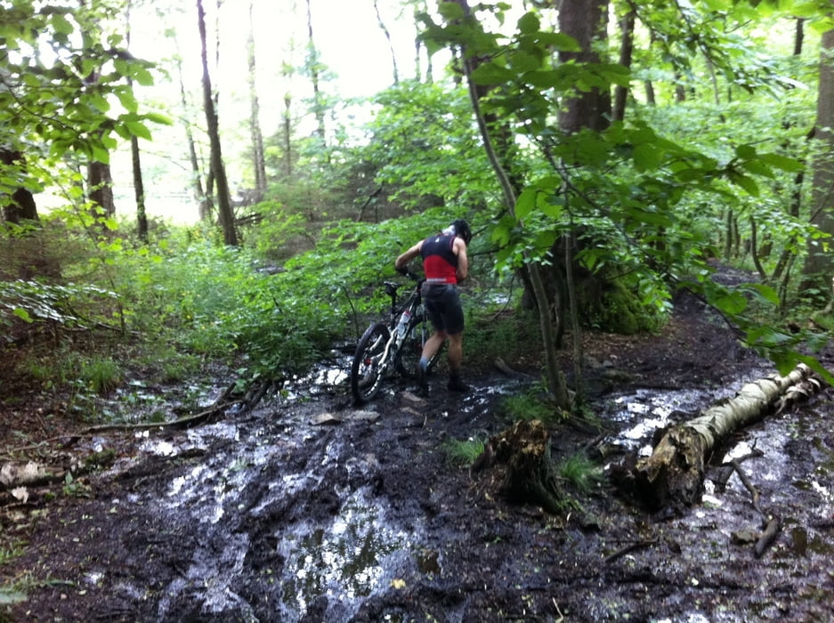
Die Tour beginnt in Kelkheim Münster und geht über die Rote Mühle (welche sich auch als Startpunkt eignet) nach Königstein bis zum höchsten Punkt nach Glashütten. Von hier folgen wir ein Stück den Limes, auf zum Teil sehr schlammigen Trail und schwenken anschließend nach Schlossborn. Als 2. Herausforderung schrauben wir uns noch zum Atzelberg (507m) bei Eppenhain hinauf und genießen den Blick vom Atzelbergturm über das gesamte Rhein-Main -Gebiet und den Taunus. Zum Ausrollen umzirkeln wir den Rossert, folgen dem Trail nach Fischbach und fahren über den Gimbacher Hof zurück zum Ausgangspunkt.
Tour gallery
Tour map and elevation profile
Minimum height 171 m
Maximum height 571 m
More about the tour author

|
Comments

GPS tracks
Trackpoints-
GPX / Garmin Map Source (gpx) download
-
TCX / Garmin Training Center® (tcx) download
-
CRS / Garmin Training Center® (crs) download
-
Google Earth (kml) download
-
G7ToWin (g7t) download
-
TTQV (trk) download
-
Overlay (ovl) download
-
Fugawi (txt) download
-
Kompass (DAV) Track (tk) download
-
Track data sheet (pdf) download
-
Original file of the author (gpx) download
More about the tour author
|
|
Add to my favorites
Remove from my favorites
Edit tags
Open track
My score
Rate