


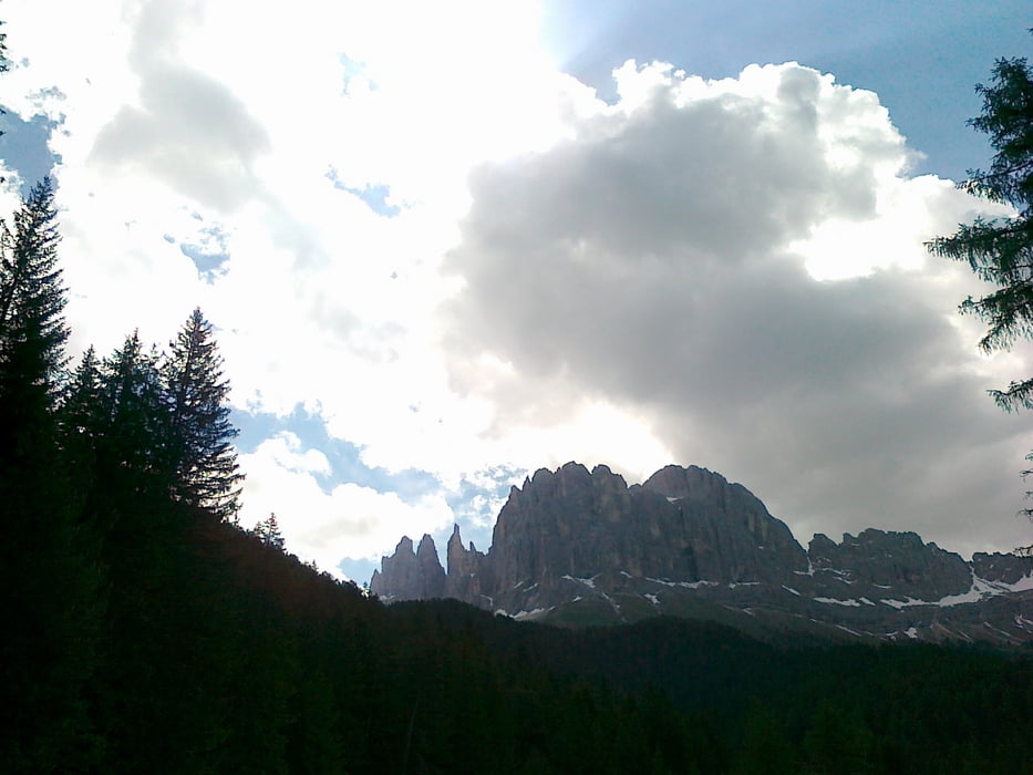
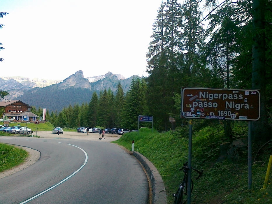
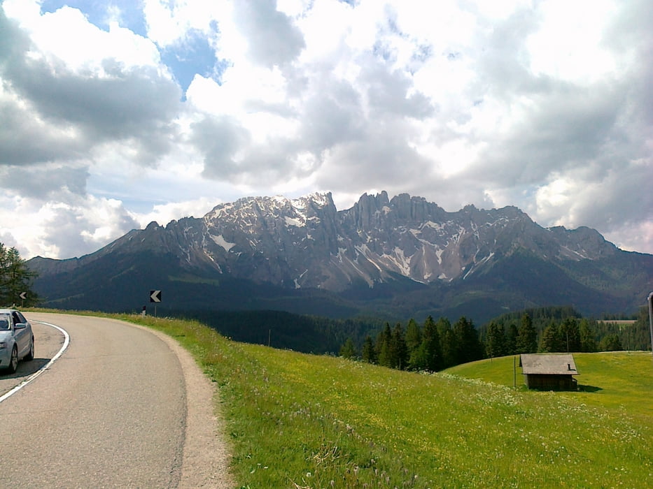
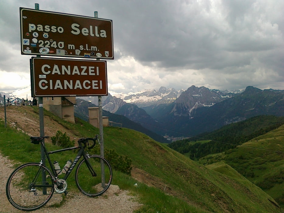
Startplatz war der Campingplatz "Seiseralm" in der Nähe von Völs. Von da ab gegen den Uhrzeigersinn zuerst über den Niger Paß, dann kommt der Karer Paß, gefolgt vom Sellajoch und zum Schluß der Panider Sattel, der auch nochmal etwas reinhaut. Eine Traumtour in einer wundervollen Landschaft - Kamera mitnehmen, dann werden es besser Fotos als hier mit der Handyknipse! Am Nigerpaß muß man sich aufgrund der Steigung (nach Zyprian) etwas quälen.
Tour gallery
Tour map and elevation profile
Minimum height 732 m
Maximum height 2234 m
More about the tour author
|
|
CF2008 |
Comments

GPS tracks
Trackpoints-
GPX / Garmin Map Source (gpx) download
-
TCX / Garmin Training Center® (tcx) download
-
CRS / Garmin Training Center® (crs) download
-
Google Earth (kml) download
-
G7ToWin (g7t) download
-
TTQV (trk) download
-
Overlay (ovl) download
-
Fugawi (txt) download
-
Kompass (DAV) Track (tk) download
-
Track data sheet (pdf) download
-
Original file of the author (gpx) download
More about the tour author
|
|
CF2008 |
Add to my favorites
Remove from my favorites
Edit tags
Open track
My score
Rate