


Manche Leute fliegen fürs Sightseeing um die ganze Welt in irgendeine Metropole.
Bei uns geht es bescheidener zu und hier und heute ums Sightseeing per pedes am Ausgangspunkt für unser letztes Radlerwochenende. Von jenem aus sind wir gen Südwest (gps-tour 1192429), gen West (gps-tour 119350) und gen Nordost (gps-tour 119355) getourt.
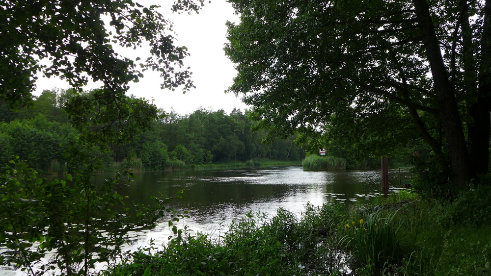
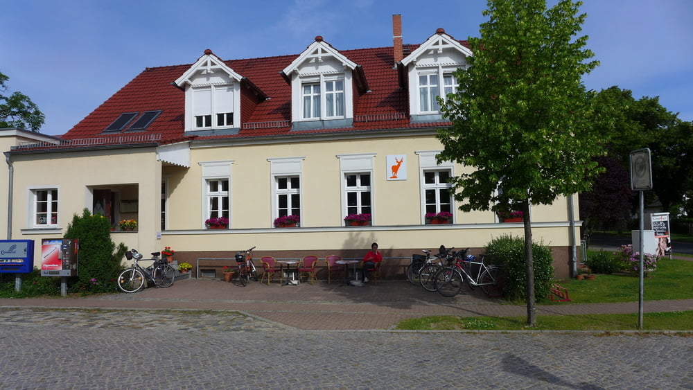
Berkenbrück hat erstaunlich viel zu bieten: eine Pension mit Gaststätte und Saal, eine Pension mit Café, eine Strandgaststätte, einen Strand, einen Hafen, ein Lädeli, das schon 7:00Uhr öffnet, mehrere Bushaltestellen, eine Bahnstation, einen Bahnhof, der als Ferienanlage herhält und freilich Schrebergärten samt Sand fast ohne Ende …. .
Eine echte Metropole wäre nicht einmal weit gewesen, wenn wir halt nicht unbedingt Radeln wollten!
Es ist ganz nett, wenn man nicht immer hier leben muss! ;-)
Bei uns geht es bescheidener zu und hier und heute ums Sightseeing per pedes am Ausgangspunkt für unser letztes Radlerwochenende. Von jenem aus sind wir gen Südwest (gps-tour 1192429), gen West (gps-tour 119350) und gen Nordost (gps-tour 119355) getourt.
Berkenbrück hat erstaunlich viel zu bieten: eine Pension mit Gaststätte und Saal, eine Pension mit Café, eine Strandgaststätte, einen Strand, einen Hafen, ein Lädeli, das schon 7:00Uhr öffnet, mehrere Bushaltestellen, eine Bahnstation, einen Bahnhof, der als Ferienanlage herhält und freilich Schrebergärten samt Sand fast ohne Ende …. .
Eine echte Metropole wäre nicht einmal weit gewesen, wenn wir halt nicht unbedingt Radeln wollten!
Es ist ganz nett, wenn man nicht immer hier leben muss! ;-)
Further information at
http://www.berkenbrueck-spree.de/Tour gallery


Tour map and elevation profile
Minimum height 35 m
Maximum height 47 m
More about the tour author
|
|
Saxoniaradler |
Comments

Berkenbrück erreicht man über die A12 vom Schönefelder Kreuz aus zu dem man von Dresden über die A13 kommt. Camper haben es freilich ein ganzen Stückchen. ;-)
GPS tracks
Trackpoints-
GPX / Garmin Map Source (gpx) download
-
TCX / Garmin Training Center® (tcx) download
-
CRS / Garmin Training Center® (crs) download
-
Google Earth (kml) download
-
G7ToWin (g7t) download
-
TTQV (trk) download
-
Overlay (ovl) download
-
Fugawi (txt) download
-
Kompass (DAV) Track (tk) download
-
Track data sheet (pdf) download
-
Original file of the author (gpx) download
More about the tour author
|
|
Saxoniaradler |
Add to my favorites
Remove from my favorites
Edit tags
Open track
My score
Rate