Login

Forgot your login?

Cookies have to be accepted!
Your browser's cookie functionality is disabled. Please enable this functionality.

Not a member yet?

Register now
Login

Available for registred users only

Log in to use this feature.

Forgot your login?

Cookies have to be accepted!
Your browser's cookie functionality is disabled. Please enable this functionality.

Not a member yet?

Register now
Filter
Categories
Advanced filters
  • Distance (km)
  • Height
Save filters Reset filter

TrackRank

QRCode

Technical data

Distance20,3 km Height1575 m Way down1587 m Duration1 day 4 h Date26.06.2013
Scores Author Landscape Fun factor Fitness Technique

Statistics

865 Views Scores 81 Downloads Average
Rate
  • Track data sheet
  • Directions
  • Downloads

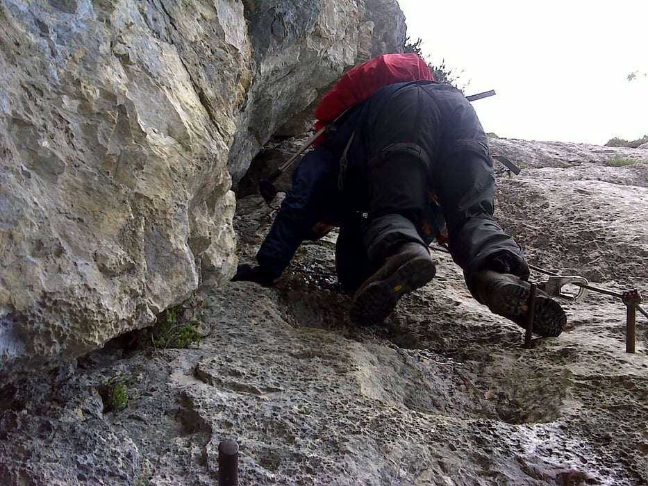
Az Aljazev domtól a Triglavski domig a Tominskova úton felfelé előbb esőben aztán hóviharban 7 óra.

Másnap a csúcstámadás a szélvihar miatt elmaradt, és a Prag úton jöttünk le 6 óra alatt.

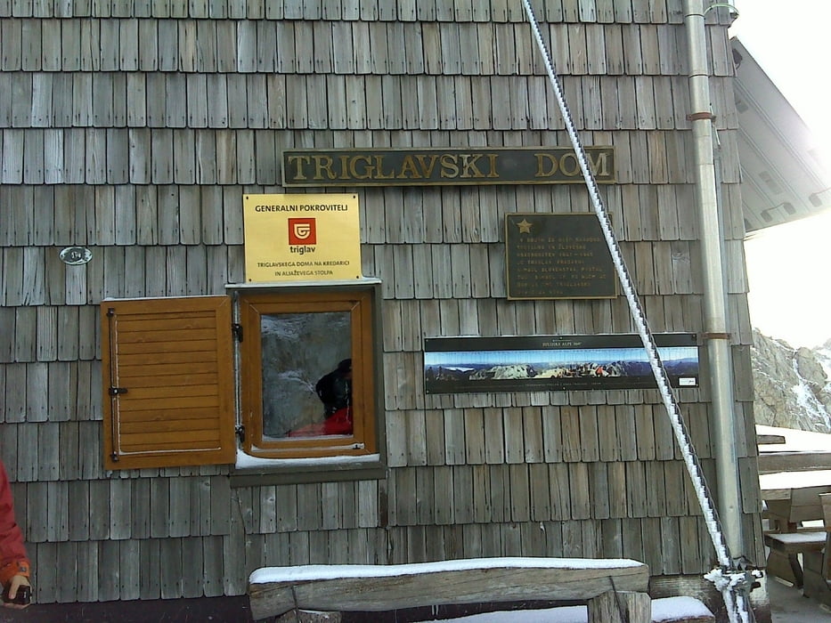
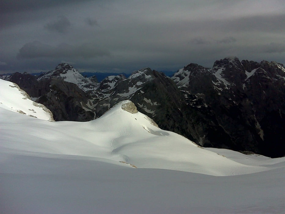
Júni végén soha ekkora hó még nem volt, a Triglavski domban a néni azt mondta "mit akarunk ilyenkor, jöjjünk nyáron"  :)

Tour gallery

Tour map and elevation profile

  • Open Street Map
  • Google
Minimum height 1004 m Maximum height 2562 m Detailed view

More about the tour author

anyosati
Member since 2013

Send private message

Comments

GPS tracks

Trackpoints
  • GPX / Garmin Map Source (gpx) download
  • TCX / Garmin Training Center® (tcx) download
  • CRS / Garmin Training Center® (crs) download
  • Google Earth (kml) download
  • G7ToWin (g7t) download
  • TTQV (trk) download
  • Overlay (ovl) download
  • Fugawi (txt) download
  • Kompass (DAV) Track (tk) download
  • Track data sheet (pdf) download
  • Original file of the author (gpx) download

More about the tour author

anyosati
Member since 2013

Send private message
Share track
Add to my favorites
Remove from my favorites
Edit tags
My score
Rate
Track: Triglav túra
Type: Mountain hiking
Distance: 20,3 km
Evaluated on:
Duration:
Day(s)
Hour(s)
Minute(s)
Score: Landscape Fun factor Fitness Technique