


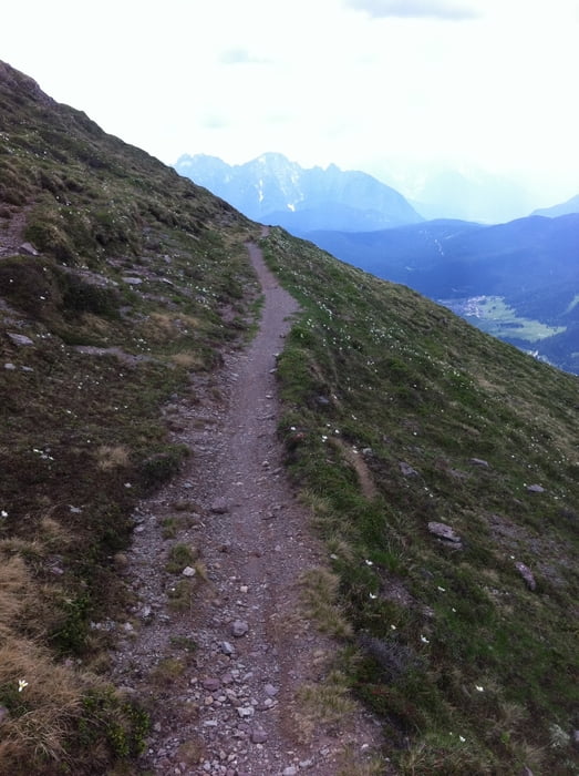
Startpunkt dieser schönen Tour ist der Kreuzbergpass in der Nähe von Sexten. Zunächst auf Waldwegen vorbei am Rif. Malga Coltrondo und danach auf einer Militärstraße in Serpentinen hoch Richtung Knieberg. Nach einem kurzen Abstecher zum Kniebergsattel folgt ein sehr schöner Höhen-Trail über den Col de la Crodata, Col Rosson und den Monte Spina.
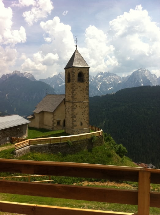
Im kleinen Ort Casamazzagno angekommen geht es teilweise über die Karnische Dolomitenstrasse und teilweise über Schotterstraßen zurück zum Kreuzbergpass.
Tour gallery
Tour map and elevation profile
Minimum height 1200 m
Maximum height 2375 m
More about the tour author

|
rushy |
Comments

Von Innichen über die Karnische Dolomitenstraße nach Sexten und weiter bis zum Kreuzbergpass.
GPS tracks
Trackpoints-
GPX / Garmin Map Source (gpx) download
-
TCX / Garmin Training Center® (tcx) download
-
CRS / Garmin Training Center® (crs) download
-
Google Earth (kml) download
-
G7ToWin (g7t) download
-
TTQV (trk) download
-
Overlay (ovl) download
-
Fugawi (txt) download
-
Kompass (DAV) Track (tk) download
-
Track data sheet (pdf) download
-
Original file of the author (gpx) download
More about the tour author
|
|
rushy |
Add to my favorites
Remove from my favorites
Edit tags
Open track
My score
Rate