Login

Forgot your login?

Cookies have to be accepted!
Your browser's cookie functionality is disabled. Please enable this functionality.

Not a member yet?

Register now
Login

Available for registred users only

Log in to use this feature.

Forgot your login?

Cookies have to be accepted!
Your browser's cookie functionality is disabled. Please enable this functionality.

Not a member yet?

Register now
Filter
Categories
Advanced filters
  • Distance (km)
  • Height
Save filters Reset filter

TrackRank

QRCode

Technical data

Distance27,8 km Height257 m Way down262 m Duration00:00 h:m Date29.06.2013
Scores Author Landscape Fun factor Fitness Technique

Statistics

743 Views Scores 269 Downloads Average
Rate
  • Track data sheet
  • Directions
  • Downloads

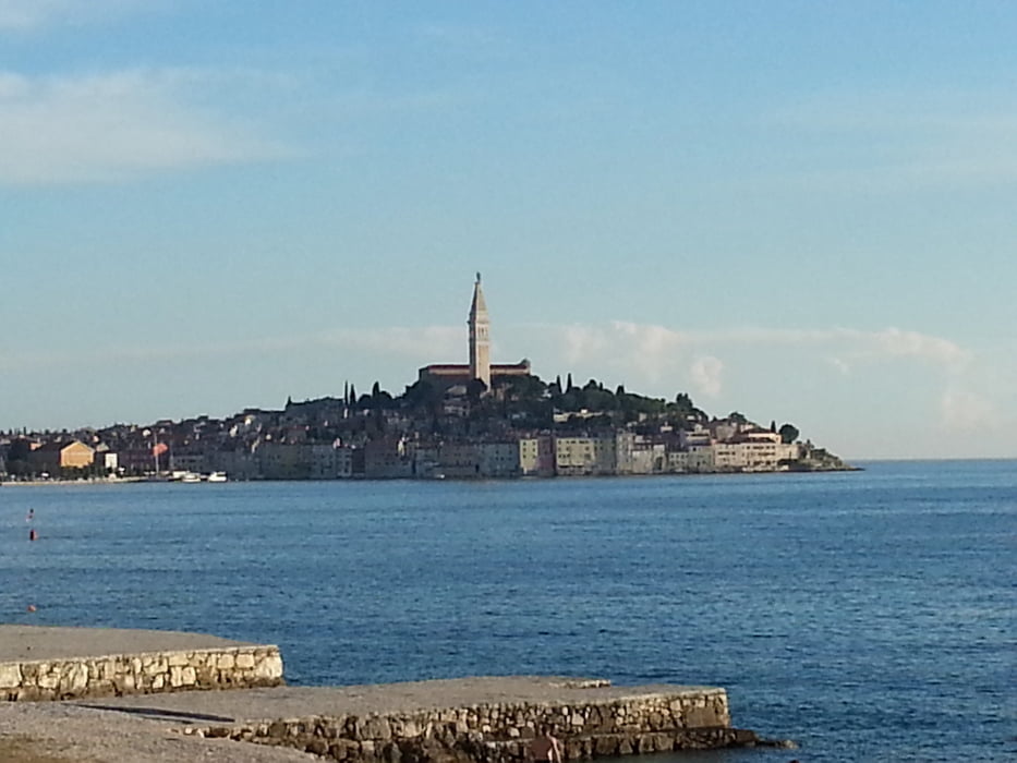
Mein Startpunkt war der Campingplatz Polari ca. 3 km südlich von Rovinj.

Die Beschilderung der Strecke (weißer Pfeil auf gelbem Grund) ist fast durchgängig gut. Überwiegend fährt man auf Schotterstrecken.

Die Diretissima zwischen den Wegpunkten Z1 und Z2 ist sehr zugewachsen und kann ich nicht empfehlen.

Tour gallery

Tour map and elevation profile

  • Open Street Map
  • Google
Minimum height 4 m Maximum height 179 m Detailed view

More about the tour author

ha_wo
Member since 2008

Send private message

Comments

GPS tracks

Trackpoints
  • GPX / Garmin Map Source (gpx) download
  • TCX / Garmin Training Center® (tcx) download
  • CRS / Garmin Training Center® (crs) download
  • Google Earth (kml) download
  • G7ToWin (g7t) download
  • TTQV (trk) download
  • Overlay (ovl) download
  • Fugawi (txt) download
  • Kompass (DAV) Track (tk) download
  • Track data sheet (pdf) download
  • Original file of the author (gpx) download

More about the tour author

ha_wo
Member since 2008

Send private message
Share track
Add to my favorites
Remove from my favorites
Edit tags
My score
Rate
Track: Polari gelb
Type: Mountain bike
Distance: 27,8 km
Evaluated on:
Duration:
Day(s)
Hour(s)
Minute(s)
Score: Landscape Fun factor Fitness Technique