


Start ist in Frickhofen am Bahnhof. Auf überwiegend geteerten Wirtschaftswegen geht es bis nach Staffel. Weiter an der Lahn entlang bis nach Balduinstein an Mischi´s Kiosk. Dort frisch gestärkt geht´s zurück auf dem Lahnhöhenweg bis nach Birlenbach. Weiter auf geteerten Wirtschaftswegen bis nach Limburg und über einen schönen Pfad bis nach Eschhofen. Auf der Holzbrücke über die Lahn und weiter über Ahlbach, Oberweyer, Oberzeuzheim, zurück nach Frickhofen.
Further information at
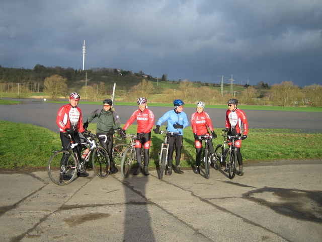
http://www.mtb-frickhofen.deTour gallery
Tour map and elevation profile
Minimum height 80 m
Maximum height 239 m
More about the tour author
|
|
mtb-frickhofen.de |
Comments

Dornburg - Frickhofen liegt ca. 20 Km nordwestlich von Limburg/Lahn.
Man erreicht es von der A3 kommend, Ausfahrt Limburg-Nord, auf die B49/54 in Richtung Gießen, nach ca. 5 KM wechselt man auf die B54 in Richtung Siegen, dann die 2. Ausfahrt nach Dornburg. Durch Niederzeuzheim, nächster Ort ist Frickhofen.
Man erreicht es von der A3 kommend, Ausfahrt Limburg-Nord, auf die B49/54 in Richtung Gießen, nach ca. 5 KM wechselt man auf die B54 in Richtung Siegen, dann die 2. Ausfahrt nach Dornburg. Durch Niederzeuzheim, nächster Ort ist Frickhofen.
GPS tracks
Trackpoints-
GPX / Garmin Map Source (gpx) download
-
TCX / Garmin Training Center® (tcx) download
-
CRS / Garmin Training Center® (crs) download
-
Google Earth (kml) download
-
G7ToWin (g7t) download
-
TTQV (trk) download
-
Overlay (ovl) download
-
Fugawi (txt) download
-
Kompass (DAV) Track (tk) download
-
Track data sheet (pdf) download
-
Original file of the author (gpx) download
More about the tour author
|
|
mtb-frickhofen.de |
Add to my favorites
Remove from my favorites
Edit tags
Open track
My score
Rate