Login

Forgot your login?

Cookies have to be accepted!
Your browser's cookie functionality is disabled. Please enable this functionality.

Not a member yet?

Register now
Login

Available for registred users only

Log in to use this feature.

Forgot your login?

Cookies have to be accepted!
Your browser's cookie functionality is disabled. Please enable this functionality.

Not a member yet?

Register now
Filter
Categories
Advanced filters
  • Distance (km)
  • Height
Save filters Reset filter

TrackRank

QRCode

Technical data

Distance90,8 km Height337 m Way down417 m Duration04:30 h:m Date29.06.2013
Scores Author Landscape Fun factor Fitness Technique

Statistics

156 Views Scores 17 Downloads Average
Rate
  • Track data sheet
  • Directions
  • Downloads

Die Tour geht von Sankt Wolfgang nach Kufstein.

Ab Wasserburg geht es entlang dem Innradweg. 

Zurück geht es etweder ganz entspannt mit der Bahn über Rosenheim entweder nach Reitmehring (ca. 1 Std.) oder über Mühldorf nach Schwindegg oder Dorfen (ca. 2 Std.).

Ich bin die Tour auch schon mal hin und zurück mit dem Bike gefahren. Dazu bedarf es allerdings etwas Kondition und natürlich mehr Zeit.
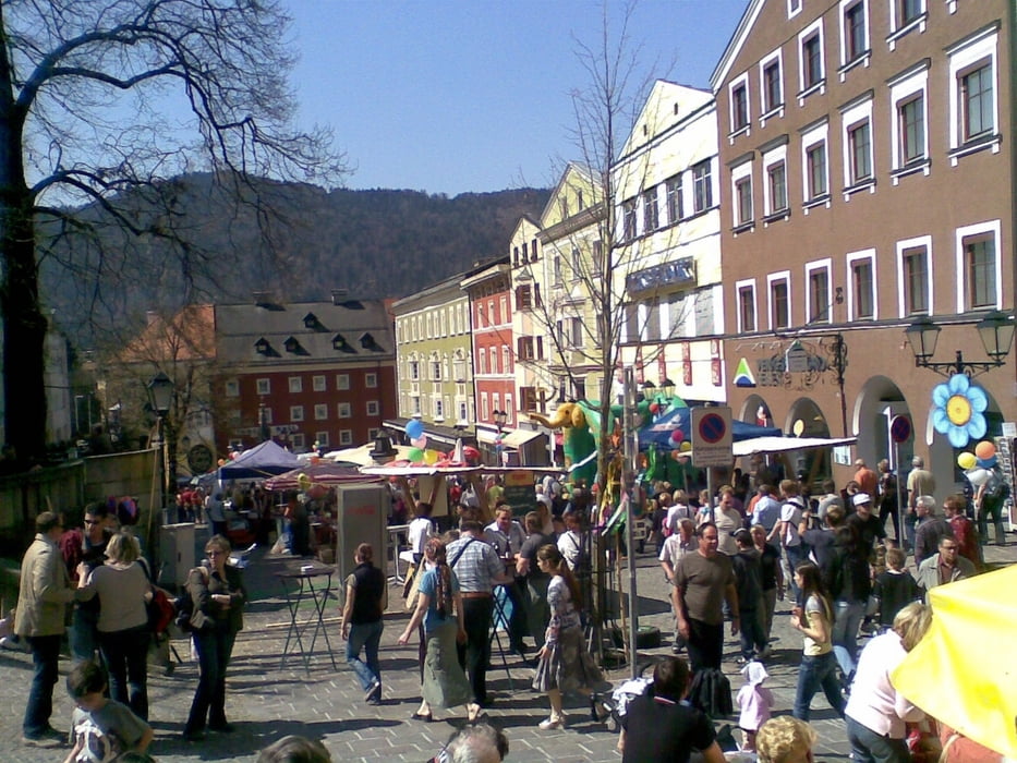
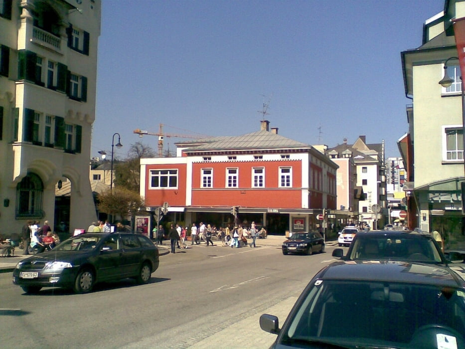
 

Tour gallery

Tour map and elevation profile

  • Open Street Map
  • Google
Minimum height 439 m Maximum height 587 m Detailed view

More about the tour author

estebanrs4
Member since 2008

Send private message

Comments

GPS tracks

Trackpoints
  • GPX / Garmin Map Source (gpx) download
  • TCX / Garmin Training Center® (tcx) download
  • CRS / Garmin Training Center® (crs) download
  • Google Earth (kml) download
  • G7ToWin (g7t) download
  • TTQV (trk) download
  • Overlay (ovl) download
  • Fugawi (txt) download
  • Kompass (DAV) Track (tk) download
  • Track data sheet (pdf) download
  • Original file of the author (gpx) download

More about the tour author

estebanrs4
Member since 2008

Send private message
Share track
Add to my favorites
Remove from my favorites
Edit tags
My score
Rate
Track: St. Wolfgang - Kufstein über den Innradweg
Type: Mountain bike
Distance: 90,8 km
Evaluated on:
Duration:
Day(s)
Hour(s)
Minute(s)
Score: Landscape Fun factor Fitness Technique