Login

Forgot your login?

Cookies have to be accepted!
Your browser's cookie functionality is disabled. Please enable this functionality.

Not a member yet?

Register now
Login

Available for registred users only

Log in to use this feature.

Forgot your login?

Cookies have to be accepted!
Your browser's cookie functionality is disabled. Please enable this functionality.

Not a member yet?

Register now
Filter
Categories
Advanced filters
  • Distance (km)
  • Height
Save filters Reset filter

TrackRank

QRCode

Technical data

Distance30,3 km Height270 m Way down273 m Duration00:02 h:m Date30.06.2013
Scores Author Landscape Fun factor Fitness Technique

Statistics

393 Views Scores 72 Downloads Average
Rate
  • Track data sheet
  • Directions
  • Downloads

Startpunkt ist der Bahnhof in Moosach

Von dort geht es Richtung Altenburg über teils Teerstarßen und Feldewege.

Die Tour führt uns überwiegend auf Schotterstraßen über Kirchseeon den Ebersberger Forst am Egglburger See über Grafing Ghf nach Moosach wieder zurück.

Diverse Einkehrmöglichkeiten.

Auch für Trekkingbike geeignet
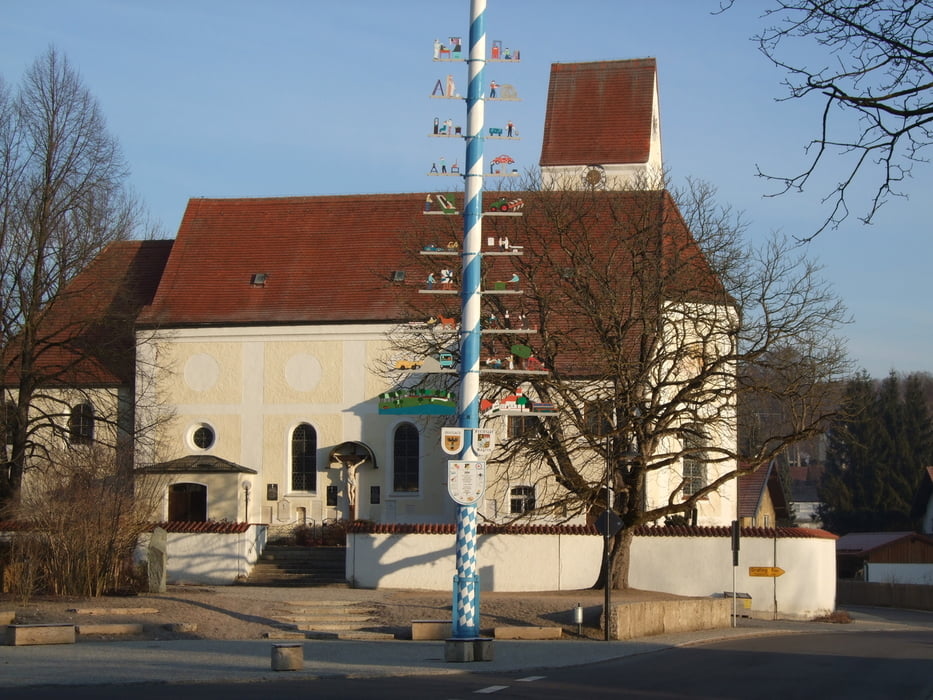
Tour gallery

Tour map and elevation profile

  • Open Street Map
  • Google
Minimum height 512 m Maximum height 605 m Detailed view

More about the tour author

moosacher
Member since 2008

Send private message

Comments

Startpunkt

Moosach Bahnhofstraße "Alter Bahnhof"

alternative auch

Parkplatz an der Rudolf Obermayer Halle (MZH)


GPS tracks

Trackpoints
  • GPX / Garmin Map Source (gpx) download
  • TCX / Garmin Training Center® (tcx) download
  • CRS / Garmin Training Center® (crs) download
  • Google Earth (kml) download
  • G7ToWin (g7t) download
  • TTQV (trk) download
  • Overlay (ovl) download
  • Fugawi (txt) download
  • Kompass (DAV) Track (tk) download
  • Track data sheet (pdf) download
  • Original file of the author (gpx) download

More about the tour author

moosacher
Member since 2008

Send private message
Share track
Add to my favorites
Remove from my favorites
Edit tags
My score
Rate
Track: Moosach Altenburg Kirchseeon EBE Moosach
Type: Mountain bike
Distance: 30,3 km
Evaluated on:
Duration:
Day(s)
Hour(s)
Minute(s)
Score: Landscape Fun factor Fitness Technique