
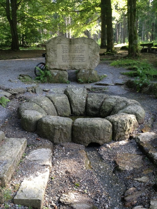

Die Tour beginnt in Goldkronach und verläuft über Bad Berneck an der Ölschnitz entlang nach Gefrees. Von dort geht es über Kornbach auf dem Eger-Wanderweg zur Egerquelle. Dann hab ich mich kurz verfahren, das kurze Stück Asphalt kann man auch durch Forstweg ersetzen :)
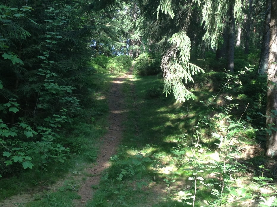
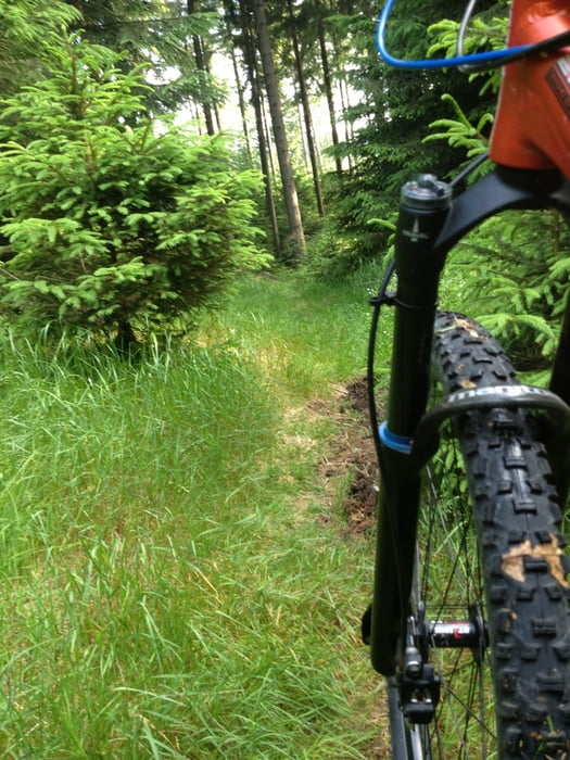
Auf Forststraßen und Trails führt der Track bis zum Fichtelsee und von dort auf dem unteren Ring (Ochsenkopf) und dem S-Weg (Trail) zurück nach Goldkronach.
Viel Spass!
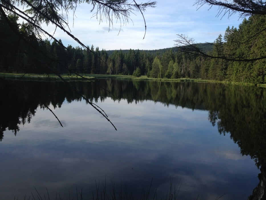
Tour gallery
Tour map and elevation profile
Minimum height 360 m
Maximum height 856 m
More about the tour author
|
|
berndhuber |
Comments

A9 > Bayreuth nord > Goldkronach
GPS tracks
Trackpoints-
GPX / Garmin Map Source (gpx) download
-
TCX / Garmin Training Center® (tcx) download
-
CRS / Garmin Training Center® (crs) download
-
Google Earth (kml) download
-
G7ToWin (g7t) download
-
TTQV (trk) download
-
Overlay (ovl) download
-
Fugawi (txt) download
-
Kompass (DAV) Track (tk) download
-
Track data sheet (pdf) download
-
Original file of the author (gpx) download
More about the tour author
|
|
berndhuber |
Add to my favorites
Remove from my favorites
Edit tags
Open track
My score
Rate