


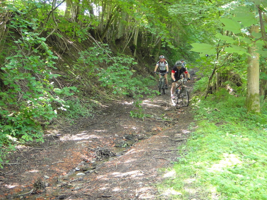
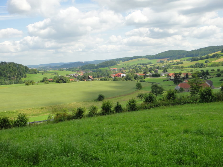
Startpunkt dieser 2-Tagestour ist Großheubach. Von dort folgt man stets dem sehr gut beschilderten Wanderweg "Gelbes Dreieck", der direkt nach Bensheim führt. Dabei besticht dieser Weg durch einen sehr hohen Trailanteil. Lediglich gegen Ende fährt man noch ca.15km auf Teer, wobei die sehr schöne Landschaft ausreichend dafür entschädigt.
Heimwärts fährt man dann auf dem Wanderweg mit der weißen Raute. Er besticht vor allem am Anfang durch knackige Steigungen, sodass man bei Kilometer 30 bereits 1100hm hinter sich gebracht hat. Man fährt fast ausschließlich auf Waldwegen und Trails, die man am liebsten alle nur herunterfahren möchte. Beim letzten Trail, den "Russenpfad" hinunter nach Amorbach, werden noch einmal die Endorphine ins Blut geworfen, sodass man vergnügt zurück nach Großheubach rollen kann.
Tour gallery
Tour map and elevation profile
Minimum height 97 m
Maximum height 570 m
More about the tour author
|
|
DevilsStrike |
Comments

GPS tracks
Trackpoints-
GPX / Garmin Map Source (gpx) download
-
TCX / Garmin Training Center® (tcx) download
-
CRS / Garmin Training Center® (crs) download
-
Google Earth (kml) download
-
G7ToWin (g7t) download
-
TTQV (trk) download
-
Overlay (ovl) download
-
Fugawi (txt) download
-
Kompass (DAV) Track (tk) download
-
Track data sheet (pdf) download
-
Original file of the author (tcx) download
More about the tour author
|
|
DevilsStrike |
Add to my favorites
Remove from my favorites
Edit tags
Open track
My score
Rate