


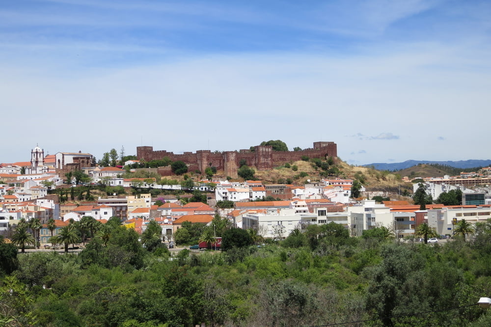
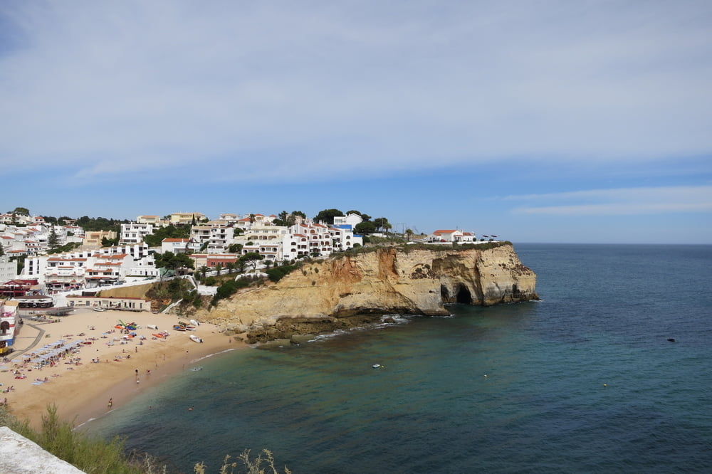
Meist leichte bis mittelschwere Rundtour mit Besichtigung der mittelalterlichen Festung in Silves. Start und Endpunkt ist in Carvoeiro beim Hotel Tivoli.
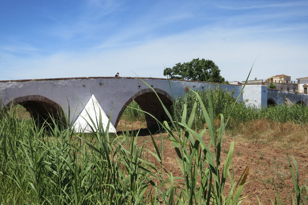
Augen auf, wenn man durch´s Feuchtgebiet fährt, dort kann man einiges entdecken.
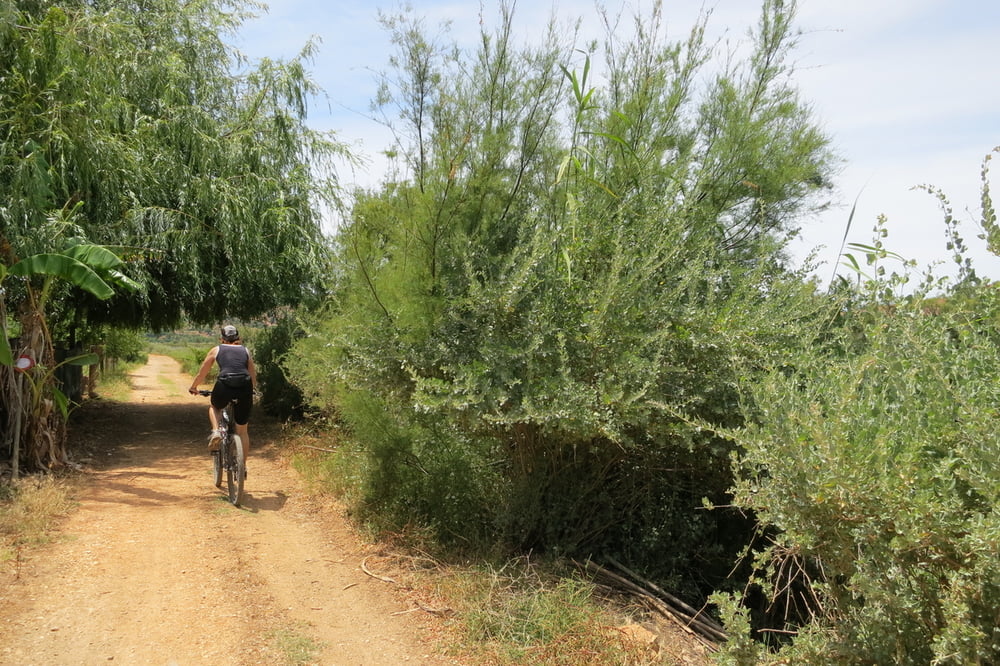
Wegbeschaffenheit: Asphalt, Feldwege, Staubpisten und ein Single Trail entlang am Bewässerungskanal. Eine niedrige Begrenzungsmauer muss man überwinden. Bei der Rückfahrt ist ein ca. 800 Meter langer steiler grobschottiger Weg (eventuell das Rad´l schieben).
Einkehrmöglichkeiten: gibt es in Carvoeiro und in Silves.
Fahrradvermietung: http://www.locauto.co.uk/de/ Ich habe in der Karte zwei Standorte von Locauto ein Wegzeichen gesetzt. Man kann dort Autos, Motorräder und Fahrräder mieten. Die MTB´s sind nicht gerade die neuesten Modelle, bei uns haben sie jedoch durchgehalten.
Eine Kaution von 50€ pro Rad ist hier üblich und wird zurückerstattet.
Tipp: Ein Ersatzschlauch und eine kleine Pumpe mitnehmen!
Further information at
http://www.portugal-live.net/tivoli-carvoeiro/de/index.htmlTour gallery
Tour map and elevation profile
Minimum height 9 m
Maximum height 93 m
More about the tour author
|
|
W-C |
Comments

´Das Hotel Tivoli liegt ca. 900 Meter östlich vom Ortszentrum Carvoeiro entfernt. "Estrada da Farol"
Koordinaten:
N 37° 05. 660´
W 8° 27. 583´
GPS tracks
Trackpoints-
GPX / Garmin Map Source (gpx) download
-
TCX / Garmin Training Center® (tcx) download
-
CRS / Garmin Training Center® (crs) download
-
Google Earth (kml) download
-
G7ToWin (g7t) download
-
TTQV (trk) download
-
Overlay (ovl) download
-
Fugawi (txt) download
-
Kompass (DAV) Track (tk) download
-
Track data sheet (pdf) download
-
Original file of the author (gpx) download
More about the tour author
|
|
W-C |
Add to my favorites
Remove from my favorites
Edit tags
Open track
My score
Rate