


kommt noch
Further information at
http://www.rumaenien-tourismus.de/brasovTour gallery
Tour map and elevation profile
Minimum height 666 m
Maximum height 1068 m
More about the tour author
|
|
JanJensen |
Comments

Unsere Anfahrt begann in Sanpetru (Petersberg) beim wunderschönen Hotel Bielmann. www.hotel-bielmann.ro
Von Sanpetru(Petersberg) aus fahrt ihr Richtung Brasov. In Brasov auf die Calea Bucuresti 1(E60) die grobe Richtung in Brasov ist der Ort Preedal.
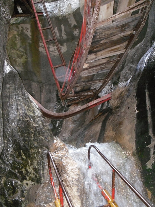
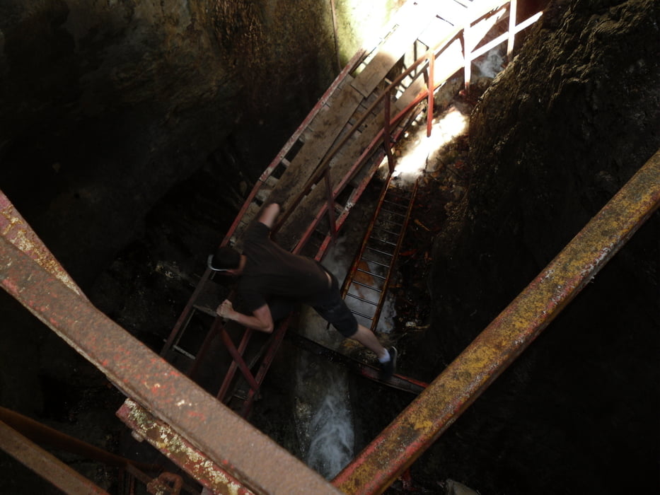
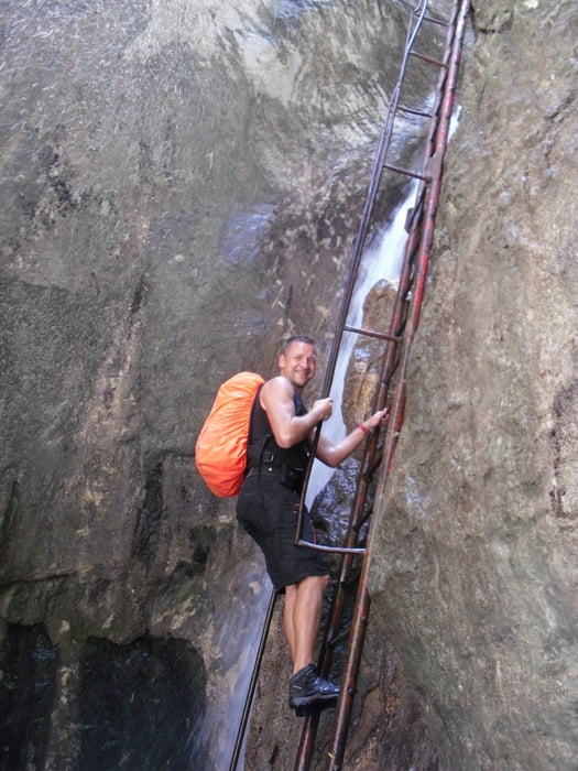
Immer schön auf der 1 bleiben es kommt dann mal auf der linken Seite ein Zeltplatz (Darste) schön weiter auf der 1 bleiben bis zum Ort Timisu de Jos dort bitte links abbiegen. Ich glaube es steht auch ein Schild Sapte Scari(Sieben Leitern).
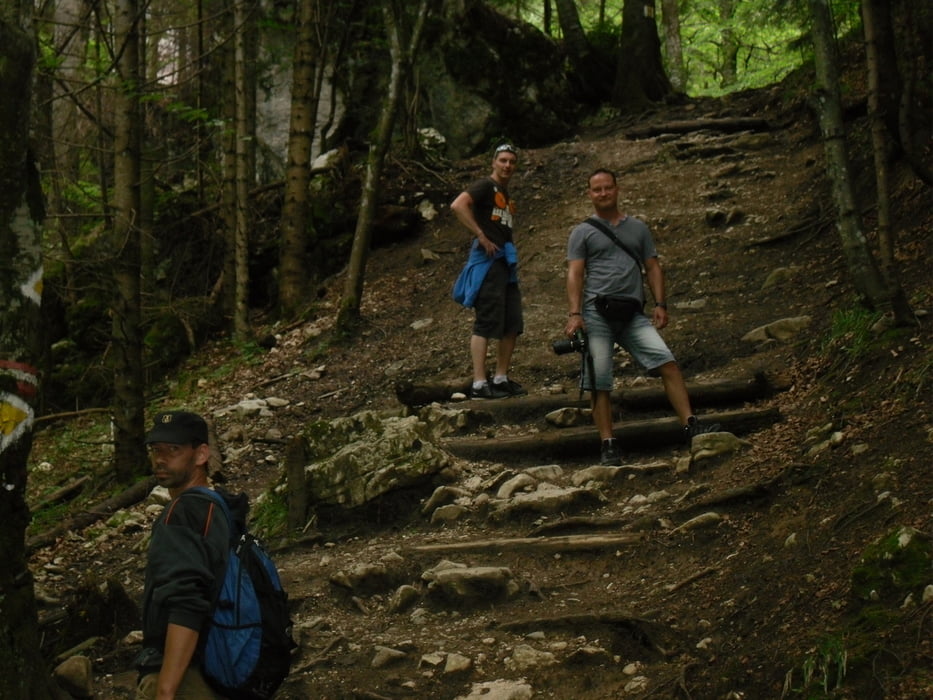
Am Dambu Morii ist ein Parkplatz von dort aus könnt ihr dei Wanderung beginnen.
GPS tracks
Trackpoints-
GPX / Garmin Map Source (gpx) download
-
TCX / Garmin Training Center® (tcx) download
-
CRS / Garmin Training Center® (crs) download
-
Google Earth (kml) download
-
G7ToWin (g7t) download
-
TTQV (trk) download
-
Overlay (ovl) download
-
Fugawi (txt) download
-
Kompass (DAV) Track (tk) download
-
Track data sheet (pdf) download
-
Original file of the author (tcx) download
More about the tour author
|
|
JanJensen |
Add to my favorites
Remove from my favorites
Edit tags
Open track
My score
Rate