


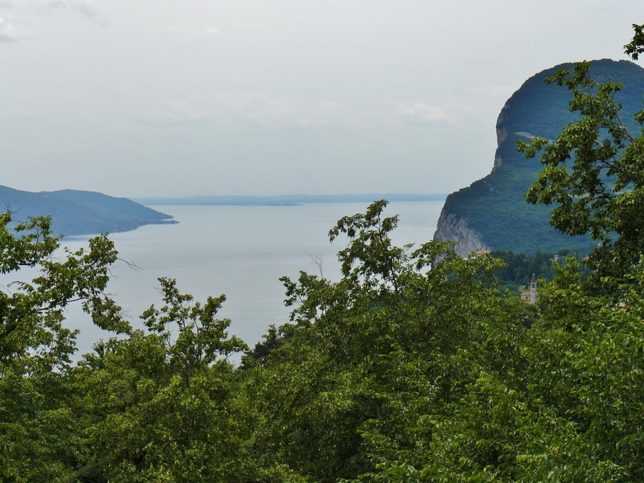
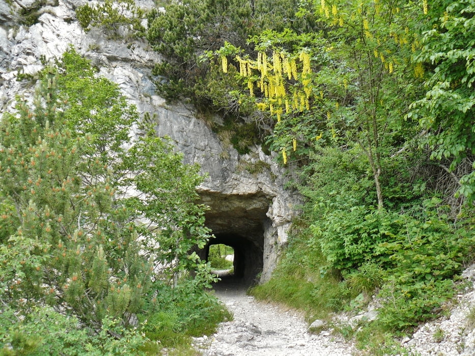
Gestartet wird in Limone www.limone.com. Dorthin kommt man z. B. gut mit dem Schiff. Auf Teerstraßen geht es hoch nach Tremosine. Von dort aus geht über einen Schotterweg hoch bis auf 1300 Höhenmeter. Weitere Bilder: www.panoramio.com/photo/92454449. Oben kommt man auf dem Weg von Tremalzo nach Pregasina mit schönen Aussichten. Nach Pregasina geht es über einen Trail bergab. In der Regel ist dieser fahrbar, ab und zu muss geschoben werden.
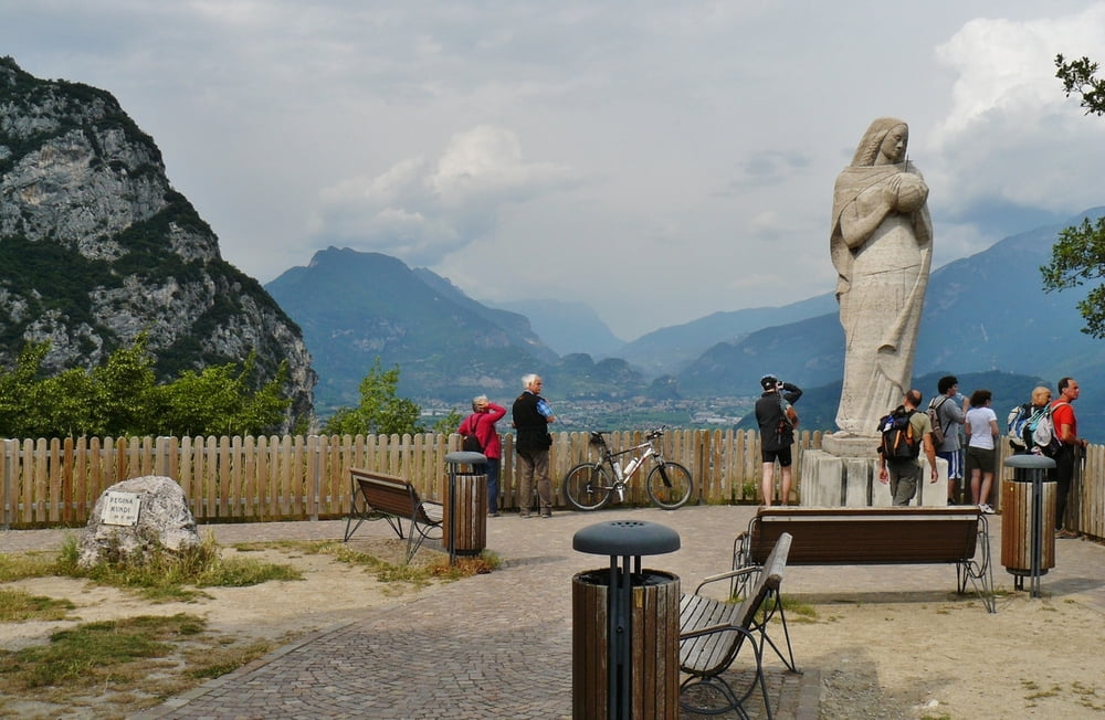
In Pregasina kann man gut rasten: www.hotel-panorama-garda.it
Dannach geht es über Teestraßen bis zur Ponalestraße. Über die Ponalstraße www.panoramio.com/photo/55227341 geht es zurück bis nach Riva. Von der Ponalestraße hat man immer wieder schöne Ausblicke.
Further information at
http://www.pregasina.it/Tour gallery

Tour map and elevation profile
Minimum height 75 m
Maximum height 1307 m
More about the tour author
|
|
MatthiasBy |
Comments

Gestartet wurde in Torbolo. Das Schiff fährt von dort aus direkt nach Limone: www.navigazionelaghi.it/
GPS tracks
Trackpoints-
GPX / Garmin Map Source (gpx) download
-
TCX / Garmin Training Center® (tcx) download
-
CRS / Garmin Training Center® (crs) download
-
Google Earth (kml) download
-
G7ToWin (g7t) download
-
TTQV (trk) download
-
Overlay (ovl) download
-
Fugawi (txt) download
-
Kompass (DAV) Track (tk) download
-
Track data sheet (pdf) download
-
Original file of the author (gpx) download
More about the tour author
|
|
MatthiasBy |
Add to my favorites
Remove from my favorites
Edit tags
Open track
My score
Rate