


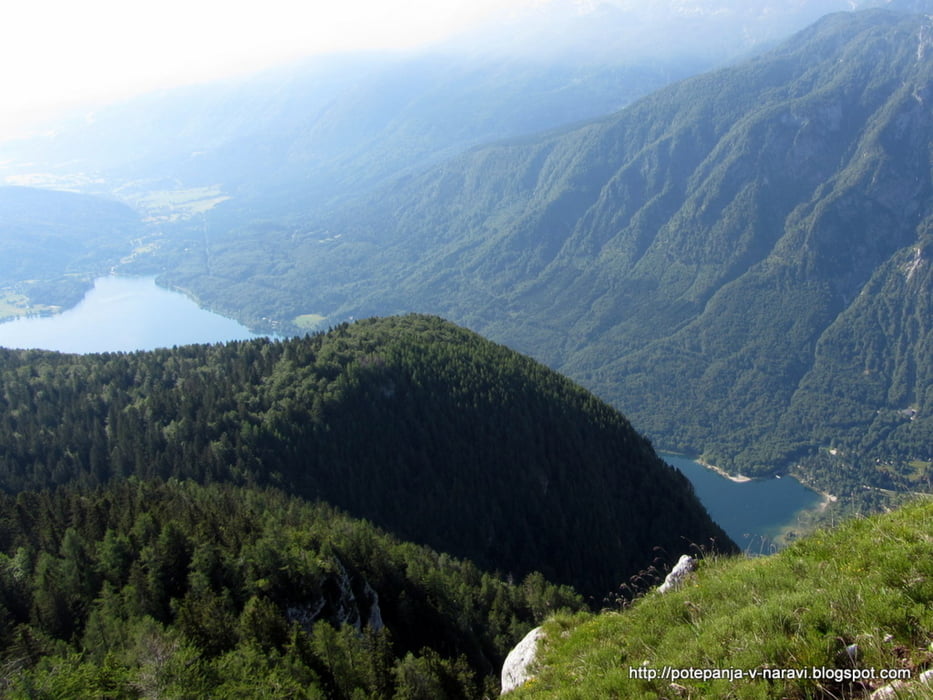
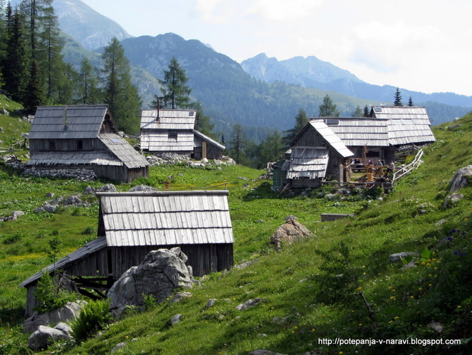
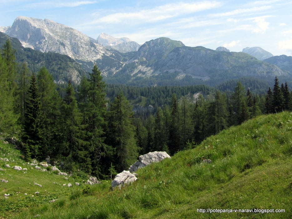
Krožni izlet z izhodiščem na parkirišču na koncu ceste na planini Vogar: vzpon po direktni poti, spust prek planine Viševnik.
Further information at
http://potepanja-v-naravi.blogspot.com/2013/07/prsivec.htmlTour gallery

Tour map and elevation profile
Minimum height 1369 m
Maximum height 1760 m
More about the tour author
|
|
ExAmigan |
Comments

Mmimo Bleda in Bohinjske Bistrice do Ribčevega Laza, nato desno ob jezeru do Stare Fužine. Za trgovino levo pri kažipotih za Voje in Blato. Po plačilu cestnine v obeh razpotjih v smeri planine Vogar, vse do konca makadamske ceste, kjer je na voljo majhno parkirišče.
GPS tracks
Trackpoints-
GPX / Garmin Map Source (gpx) download
-
TCX / Garmin Training Center® (tcx) download
-
CRS / Garmin Training Center® (crs) download
-
Google Earth (kml) download
-
G7ToWin (g7t) download
-
TTQV (trk) download
-
Overlay (ovl) download
-
Fugawi (txt) download
-
Kompass (DAV) Track (tk) download
-
Track data sheet (pdf) download
-
Original file of the author (gpx) download
More about the tour author
|
|
ExAmigan |
Add to my favorites
Remove from my favorites
Edit tags
Open track
My score
Rate