


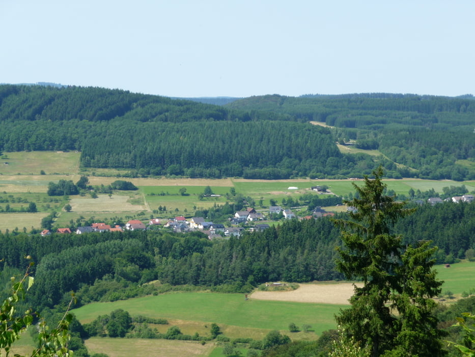
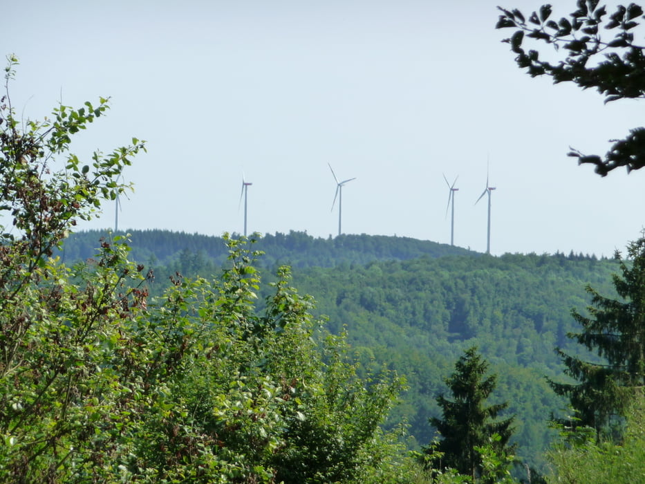
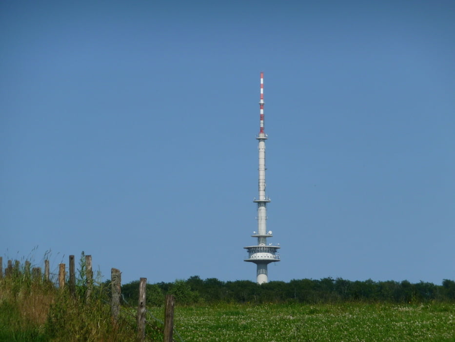
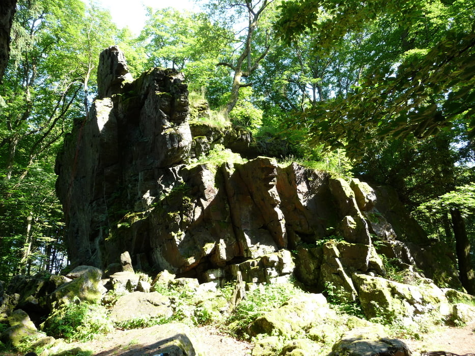
Vom Ort Gönnern gehts bergauf oberhalb vom Sportplatz vorbei und weiter auf der Höhe in Richtung Hirzenhain. Kurz vor Hirzenhain geht's am Skihang vorbei nach Eiershausen. Anschließend geht ein gutes Stück den Berg hinauf. Beim Sportplatz Eiershausen wird die Landstraße überquert. Weiter gehts oberhalb quer durch den Schelderwald und bei Hirzenhain/Bahnhof wird die Landstraße überquert. Weiterhin gehts quer weiter zur Irrschelde und nun gehts wieder ein kleines Stück aufwärts zu den Wilhelmsteinen. Von dort gehts abwärts mit einer kleinen Steigung zum Tretbecken Frechenhausen. Danach geht's weiter bergab am Forsthaus Gönnern vorbei, wieder zurück zum Ausgangspunkt.
Further information at
http://de.wikipedia.org/wiki/WilhelmsteineTour gallery
Tour map and elevation profile
Minimum height 341 m
Maximum height 620 m
More about the tour author
|
|
wwwsi07de |
Comments

GPS tracks
Trackpoints-
GPX / Garmin Map Source (gpx) download
-
TCX / Garmin Training Center® (tcx) download
-
CRS / Garmin Training Center® (crs) download
-
Google Earth (kml) download
-
G7ToWin (g7t) download
-
TTQV (trk) download
-
Overlay (ovl) download
-
Fugawi (txt) download
-
Kompass (DAV) Track (tk) download
-
Track data sheet (pdf) download
-
Original file of the author (gpx) download
More about the tour author
|
|
wwwsi07de |
Add to my favorites
Remove from my favorites
Edit tags
Open track
My score
Rate