


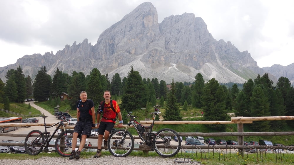
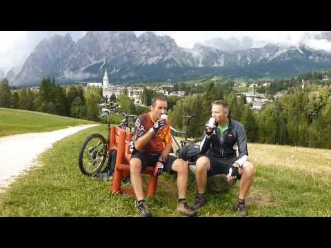
Unser geplanter Alpencross für 2013.
Eigentlich wollten wir von Mittenwald aus zum Monte Grappa. 11 Etappen incl. einer dreitägigen Dolomitenrunde. Wir haben jetzt aus bestimmtem Grunde die Tour auf 8 Etappen gekürzt und starten deshalb ein paar Kilometer nach dem Brenner in Fortezza. Die Dolomitenrunde wollten wir auf jeden Fall mitnehmen.
Etappe 1 (58 km, ca. 2300 hm):
Fortezza - Badia
Übernachtung Badia
Chalet Planvart
Etappe 2 (62 km, ca. 1700 hm + 1000 hm Lift):
Badia - San Ciscian - Bahn auf Piz de Surega - Arabba - Baita Fredarola - Passo Pordoi - Bindelweg - Capriele - Santa Fosca
Übernachtung Hotel Mondeval
Adresse: Via Piz Del Corvo 16
Selva Di Cadore
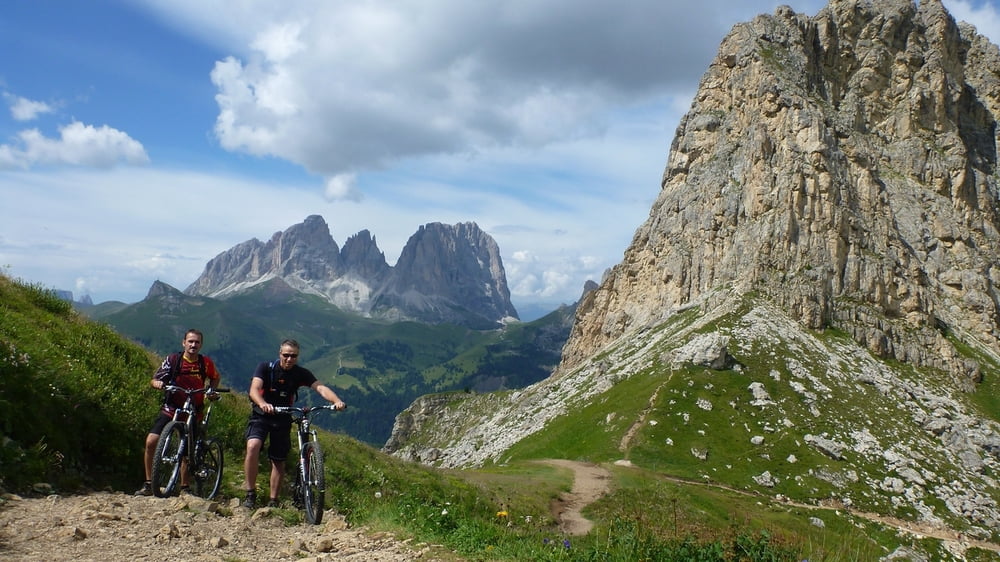
Etappe 3 (38 km, ca. 1050 hm + 1200 hm Lift):
Santa Fosca - Pescul Bahn - Fertazza - Lago di Alleghe - Alleghe Bahn - Col de Baldi - Col de la Punia - Lago Federa - Cortina d´Ampezzo
Übernachtung Cortina
Hotel Capannina
Adresse: Via Dello Stadio 11
Cortina D'Ampezzo, 32043 Italien
Etappe 4 (46 km, 900 hm + 1400 hm Lift):
Cortina d´Ampezzo - Bahn Monte Faloria - Bahn Son Forca - Fiames - Rifugio Malga Fanes - San Ciascian
Übernachtung San Ciascian
Garni Edelraut
Adresse: Strada Glira 17
San Cassiano, 39030 Italien
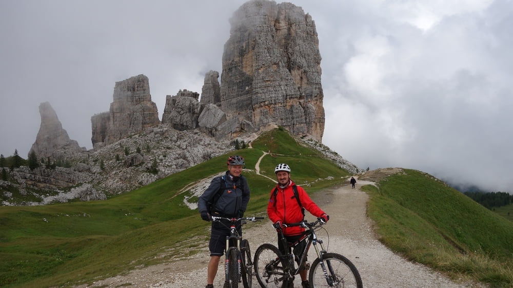
Etappe 5 (48 km, 1600 hm + 500 hm Lift):
San Ciascian - Strada pro de Costa - Falzarego - Bahn Cinque Torri - Santa Fosca - Pescul - Fertazza - Fernazza - Lago di Alleghe
Übernachtung Lago di Alleghe
Appartamenti Chalet al Lago
Adresse: Via Masarè 46
Alleghe, 32022 Italien
Etappe 6 (44 km, 1100 hm + 650 hm Lift):
Lago di Alleghe - Cencenighe - Falcade - Bahn Falcade - Passo di Valle - Baita Segantini - Passo Rolle - San Martino di Castrozza
Übernachtung San Martino di Castrozza
Hotel Alpino
Adresse: Via Passo Rolle 239
San Martino Di Castrozza, 38054 Italien
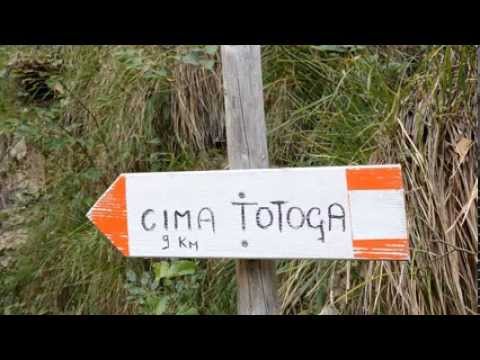
Etappe 7 29.08. (55 km, 1000 hm)
San Martino di Castrozza - Monte Totoga - Lago di Corlo
Übernachtung Lago di Corlo Hotel Parigi ***
Via San Cassiano, 9
32030 Rocca di Arsiè (BL)
Etappe 8 30.08. (42 km, 1500 hm)
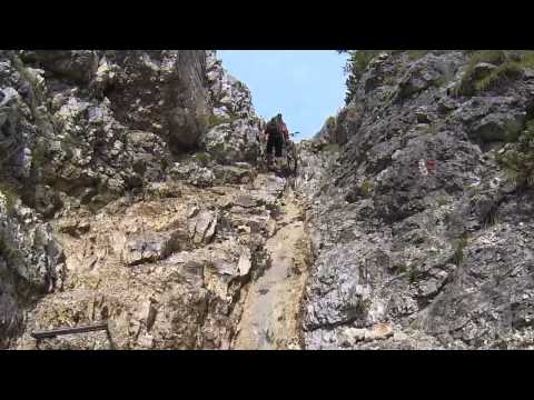
Lago di Corlo - Mt. Grappa - Abfahrt nach Lust und Laune, wir sind unterhalb am Monument den Sent. 20 - 70 - 80 - 54 ins Valle di Sante Felicita zum Endpunkt dem Campingplatz Santafelicita gefahren.
Further information at
https://www.facebook.com/grappa.bikersTour gallery

Tour map and elevation profile
Minimum height 285 m
Maximum height 2589 m
More about the tour author
|
|
GrappaBikers |
Comments
Über den Brenner, ca. 30 Kilometer nach Fortezza. Startpunkt am Bahnhof.
GPS tracks
Trackpoints-
GPX / Garmin Map Source (gpx) download
-
TCX / Garmin Training Center® (tcx) download
-
CRS / Garmin Training Center® (crs) download
-
Google Earth (kml) download
-
G7ToWin (g7t) download
-
TTQV (trk) download
-
Overlay (ovl) download
-
Fugawi (txt) download
-
Kompass (DAV) Track (tk) download
-
Track data sheet (pdf) download
-
Original file of the author (gpx) download
More about the tour author
|
|
GrappaBikers |
Add to my favorites
Remove from my favorites
Edit tags
Open track
My score
Rate
GrappaBikers