


Rossa-Capanna Buffalora
Lasciata l'auto a Rossa (Valcalanca)occorre seguire la segnaletica, passare davanti la chiesa e proseguire sulla destra. Si segue il pendio in direzione Sud e si affronta una prima ripida salita tra cespugli di ontani alla volta dell’Alp Ör. Da quel punto il sentiero conduce alla capanna di Calvaresc-Sot in mezzo alle abetaie. Giunti al cartello indicatore bisogna proseguire verso destra e salire tra i lariceti fino all’ampio spiazzo dove sorgeva la vecchia capanna Buffalora. La nuova capanna è ubicata poco oltre, in direzione Ovest.
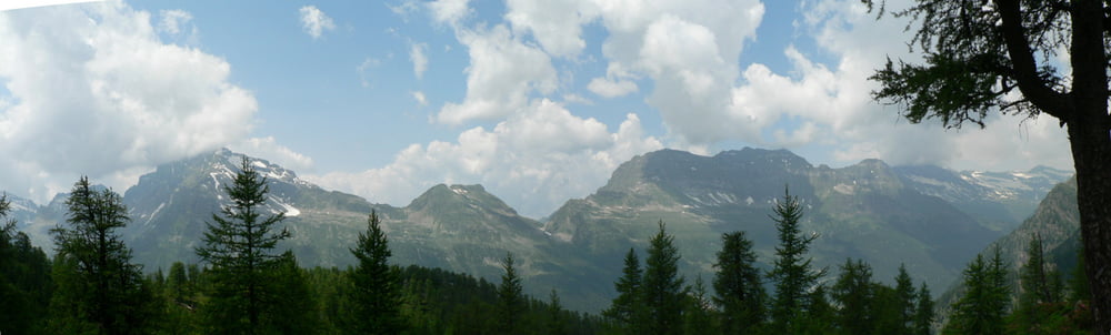
Tour gallery


Tour map and elevation profile
Minimum height 1075 m
Maximum height 2047 m
More about the tour author
|
|
gcasti |
Comments

GPS tracks
Trackpoints-
GPX / Garmin Map Source (gpx) download
-
TCX / Garmin Training Center® (tcx) download
-
CRS / Garmin Training Center® (crs) download
-
Google Earth (kml) download
-
G7ToWin (g7t) download
-
TTQV (trk) download
-
Overlay (ovl) download
-
Fugawi (txt) download
-
Kompass (DAV) Track (tk) download
-
Track data sheet (pdf) download
-
Original file of the author (gpx) download
More about the tour author
|
|
gcasti |
Add to my favorites
Remove from my favorites
Edit tags
Open track
My score
Rate