Login

Forgot your login?

Cookies have to be accepted!
Your browser's cookie functionality is disabled. Please enable this functionality.

Not a member yet?

Register now
Login

Available for registred users only

Log in to use this feature.

Forgot your login?

Cookies have to be accepted!
Your browser's cookie functionality is disabled. Please enable this functionality.

Not a member yet?

Register now
Filter
Categories
Advanced filters
  • Distance (km)
  • Height
Save filters Reset filter

TrackRank

QRCode

Technical data

Distance81,7 km Height2494 m Way down1914 m Duration05:15 h:m Date15.07.2013
Scores Author Landscape Fun factor Fitness Technique

Statistics

469 Views Scores 51 Downloads Average
Rate
  • Track data sheet
  • Directions
  • Downloads
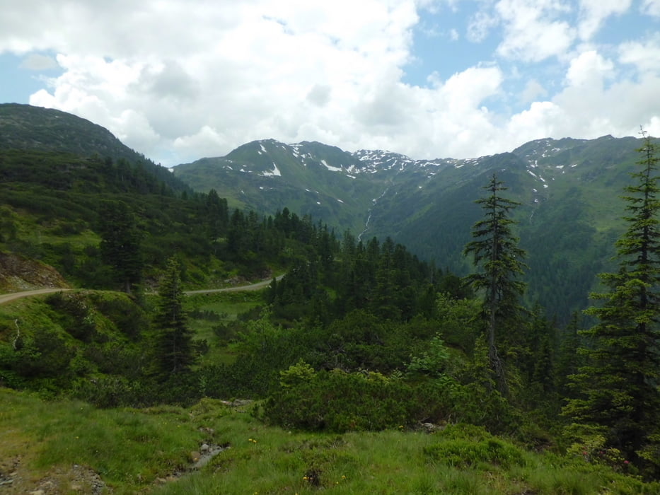
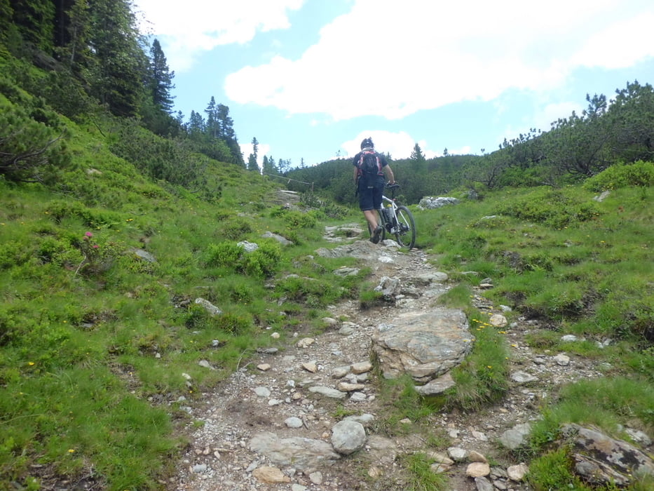
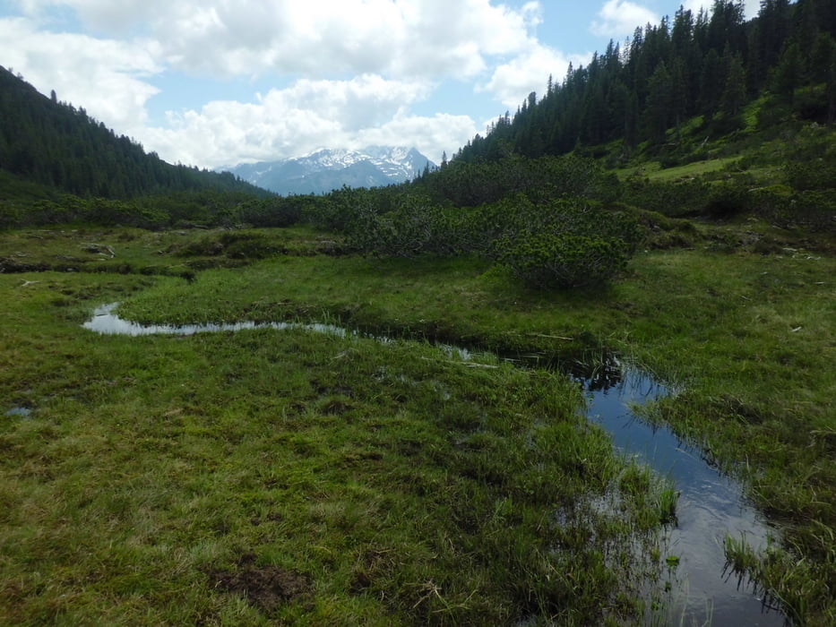
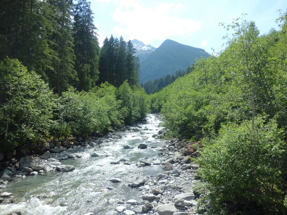
Von Kustein über Hochbrixen und die Flitzenscharte bis Krimml. Bis auf ca. 30hm zur Flitzenscharte hoch (Schiebestrecke auf Wanderpfad) alles gut fahrbar.

Tour gallery

Tour map and elevation profile

  • Open Street Map
  • Google
Minimum height 488 m Maximum height 1707 m Detailed view

More about the tour author

branco68
Member since 2012

Send private message

Comments

Mit dem PKW nach Kufstein. Erster Tag einer Transalp mit anschließender Dolomitenrunde.

GPS tracks

Trackpoints
  • GPX / Garmin Map Source (gpx) download
  • TCX / Garmin Training Center® (tcx) download
  • CRS / Garmin Training Center® (crs) download
  • Google Earth (kml) download
  • G7ToWin (g7t) download
  • TTQV (trk) download
  • Overlay (ovl) download
  • Fugawi (txt) download
  • Kompass (DAV) Track (tk) download
  • Track data sheet (pdf) download
  • Original file of the author (gpx) download

More about the tour author

branco68
Member since 2012

Send private message
Share track
Add to my favorites
Remove from my favorites
Edit tags
My score
Rate
Track: Kufstein - Krimml
Type: Mountain bike
Distance: 81,7 km
Evaluated on:
Duration:
Day(s)
Hour(s)
Minute(s)
Score: Landscape Fun factor Fitness Technique