


11.7.2013
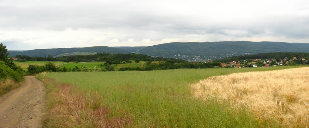
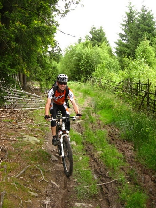
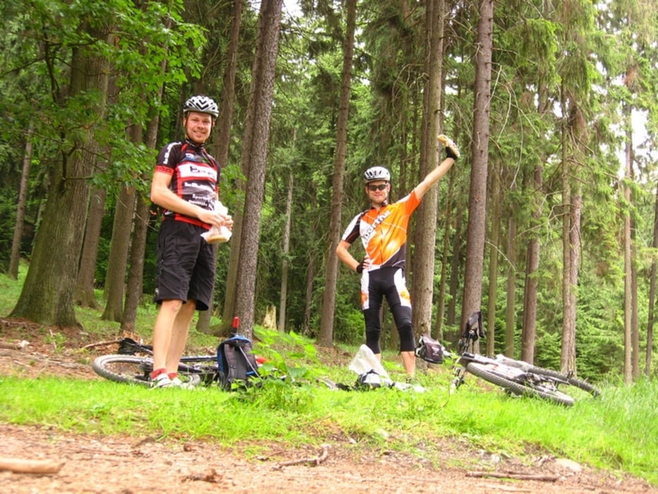
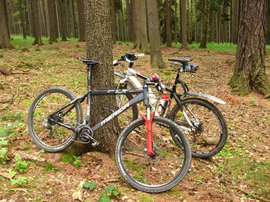
S Maťom po trase Trans Brdy. Ja som nechcel ísť po assfalte, tak som to zobral terénom a stretli sme sa vo Všenorech. Trochu spŕchlo, no ja som bol vtedy pod stromom a tlačil housky so syrom. :-D Úvodné stúpanie na hrebeň bolo dosť obtiažne, nie je kondička, hľadal som ľahší prevod... Hore už fajn, v podstate rovina a také zaujímavé kontrasty. Buď oddych po širokej zvážnici/lesnej asfaltke alebo natriasačka po koreňoch s vyberaním vhodnej stopy každú milisekundu. Zjazdy 3, každý tak na 10 sekúnd. Ale prostredie je krásne, tak spokojnosť. Na záver sme si dali DH trať a asfaltom spoločne do Prahy. Padlo 5000 km. Minulý rok som mal toto číslo o viac ako 3 mesiace skôr (8.4.). :-D
Tour gallery
Tour map and elevation profile
Minimum height 128 m
Maximum height 605 m
More about the tour author
|
|
tmax |
Comments

Praha - Řepy
GPS tracks
Trackpoints-
GPX / Garmin Map Source (gpx) download
-
TCX / Garmin Training Center® (tcx) download
-
CRS / Garmin Training Center® (crs) download
-
Google Earth (kml) download
-
G7ToWin (g7t) download
-
TTQV (trk) download
-
Overlay (ovl) download
-
Fugawi (txt) download
-
Kompass (DAV) Track (tk) download
-
Track data sheet (pdf) download
-
Original file of the author (gpx) download
More about the tour author
|
|
tmax |
Add to my favorites
Remove from my favorites
Edit tags
Open track
My score
Rate