Login

Forgot your login?

Cookies have to be accepted!
Your browser's cookie functionality is disabled. Please enable this functionality.

Not a member yet?

Register now
Login

Available for registred users only

Log in to use this feature.

Forgot your login?

Cookies have to be accepted!
Your browser's cookie functionality is disabled. Please enable this functionality.

Not a member yet?

Register now
Filter
Categories
Advanced filters
  • Distance (km)
  • Height
Save filters Reset filter

TrackRank

QRCode

Technical data

Distance57,0 km Height1870 m Way down1852 m Duration06:55 h:m Date16.07.2013
Scores Author Landscape Fun factor Fitness Technique

Statistics

365 Views Scores 68 Downloads Average
Rate
  • Track data sheet
  • Directions
  • Downloads

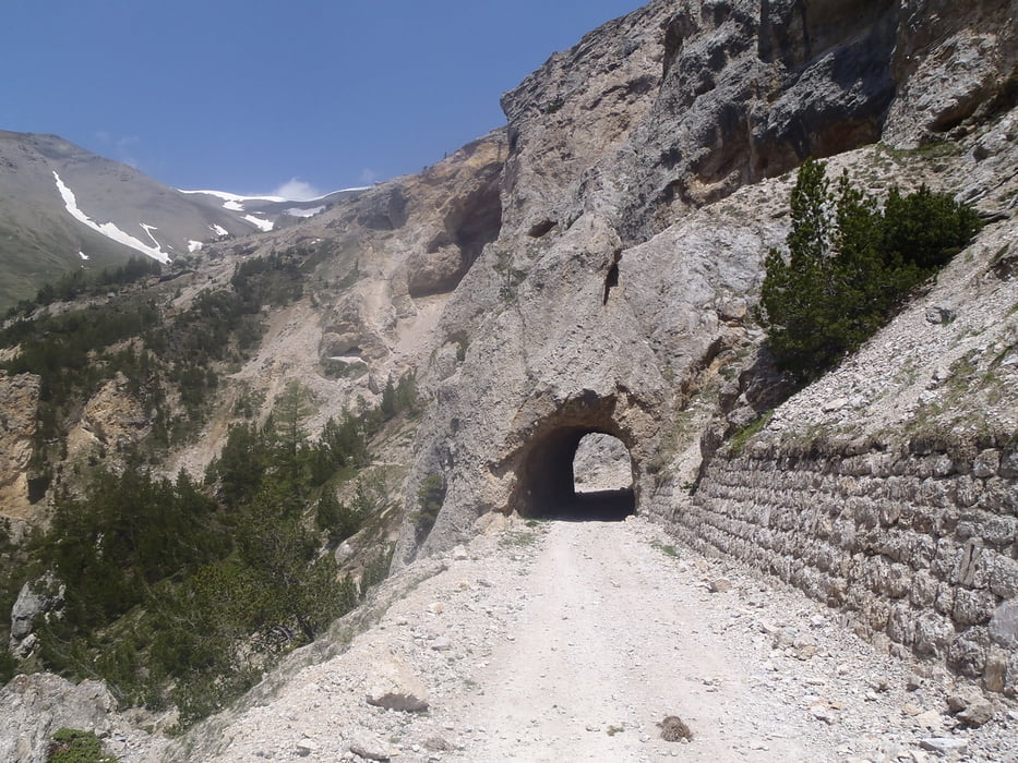
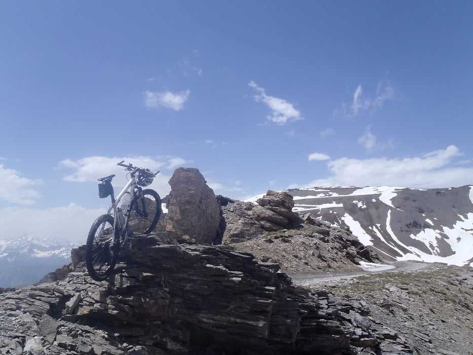
Ein traumhafte Tour, nur lag im Frühjahr 2013 auf dem Jaffereau noch etwas zu viel Schnee. Viel Tragen war dabei nötig.


Tour gallery

Tour map and elevation profile

  • Open Street Map
  • Google
Minimum height 972 m Maximum height 2687 m Detailed view

More about the tour author

haaaatz
Member since 2011

Send private message

Comments

GPS tracks

Trackpoints
  • GPX / Garmin Map Source (gpx) download
  • TCX / Garmin Training Center® (tcx) download
  • CRS / Garmin Training Center® (crs) download
  • Google Earth (kml) download
  • G7ToWin (g7t) download
  • TTQV (trk) download
  • Overlay (ovl) download
  • Fugawi (txt) download
  • Kompass (DAV) Track (tk) download
  • Track data sheet (pdf) download
  • Original file of the author (gpx) download

More about the tour author

haaaatz
Member since 2011

Send private message
Share track
Add to my favorites
Remove from my favorites
Edit tags
My score
Rate
Track: Mont Jaffereau
Type: Mountain bike
Distance: 57,0 km
Evaluated on:
Duration:
Day(s)
Hour(s)
Minute(s)
Score: Landscape Fun factor Fitness Technique