


Streckenverlauf : Burkhardsfelden - Albach - Lich -Birklar - Münzenberg - Trais-Münzenberg - Kloster Arnsburg - Lich - Burkhardsfelden
Richtung : als 8 im Gegenuhrzeigersinn zu fahren
Wege : Feld-, Wald- und Wiesenwege
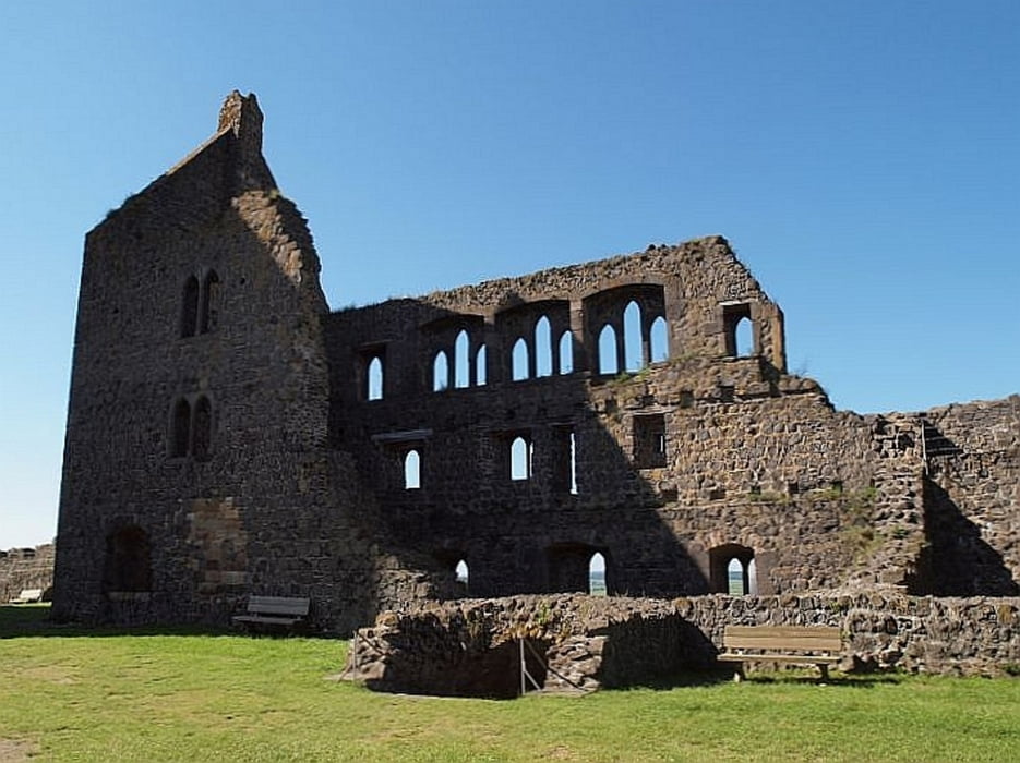
Besonderheiten : Limes - Weltkulturerbe, Birklar - Panoramaturm, Münzenberg - Stauferburg und Wahrzeichen der Wetterau, Lich - Kloster Arnsburg
Einkehrmöglichkeiten : Biergarten Hotel Münzenberg, Biergarten Kloster Arnsburg, Eisdiele Altstadt Lich, Golfclub Lich
Tour gallery
Tour map and elevation profile
Minimum height 156 m
Maximum height 259 m
More about the tour author
|
|
ablees |
Comments

Parkmöglichkeiten : Sporthalle Burkhardsfelden
GPS tracks
Trackpoints-
GPX / Garmin Map Source (gpx) download
-
TCX / Garmin Training Center® (tcx) download
-
CRS / Garmin Training Center® (crs) download
-
Google Earth (kml) download
-
G7ToWin (g7t) download
-
TTQV (trk) download
-
Overlay (ovl) download
-
Fugawi (txt) download
-
Kompass (DAV) Track (tk) download
-
Track data sheet (pdf) download
-
Original file of the author (gpx) download
More about the tour author
|
|
ablees |
Add to my favorites
Remove from my favorites
Edit tags
Open track
My score
Rate