


Von Schenna die Straße nach Meran 2000 bis nach Hafling folgen. Dort in Richtung Leadner Alm erst auf Straße dann auf Schotterweg abbiegen. Nach kleiner Rast auf der Leadner Alm den Weg einige 100 Meter bis zum Abzweig zum Knottn Kino zurückfahren. Dort dem Weg auf Schotter und Waldwegen weiter bis zum Aufgang zum Knottn Kino folgen. Hier eventuell je nach Fahrtechnik Kraft und Kondition, aufgrund von Steigung und Bodenbeschaffenheit kürzere Schiebe- bzw. Tragepassagen. Vom Knottn Kino den Weg zurück bis zum Eingang. Dann auf Asphalt und Schotter zurück zur Hauptstraße, der man bis nach Hafling und wieder hinunter nach Schenna folgt.
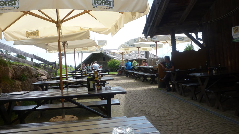
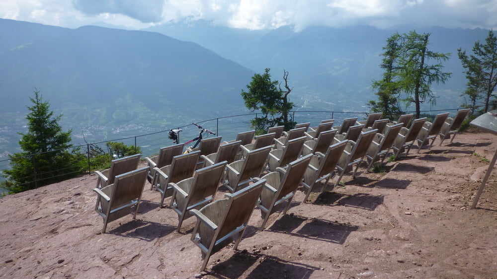
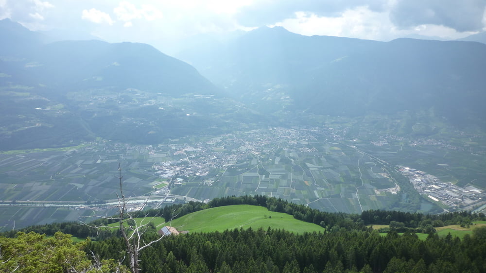
Tour gallery

Tour map and elevation profile
Minimum height 485 m
Maximum height 1523 m
More about the tour author

|
Comments

GPS tracks
Trackpoints-
GPX / Garmin Map Source (gpx) download
-
TCX / Garmin Training Center® (tcx) download
-
CRS / Garmin Training Center® (crs) download
-
Google Earth (kml) download
-
G7ToWin (g7t) download
-
TTQV (trk) download
-
Overlay (ovl) download
-
Fugawi (txt) download
-
Kompass (DAV) Track (tk) download
-
Track data sheet (pdf) download
-
Original file of the author (tcx) download
More about the tour author
|
|
Add to my favorites
Remove from my favorites
Edit tags
Open track
My score
Rate