


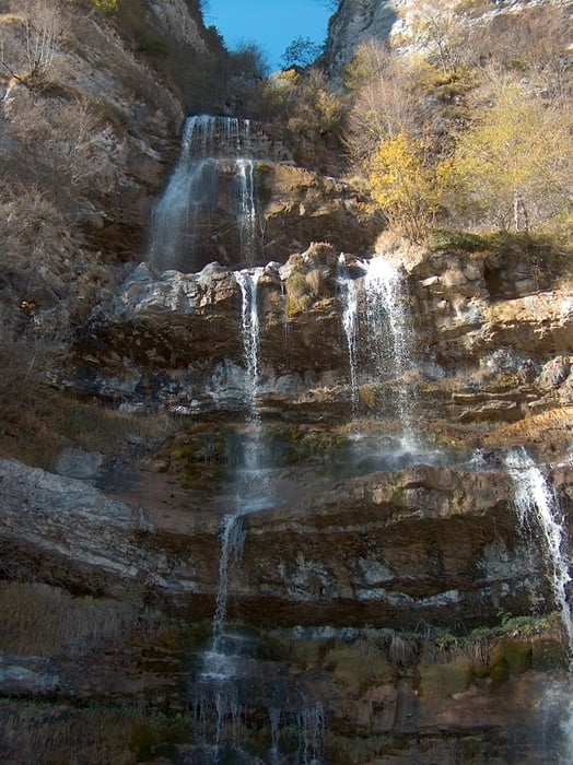
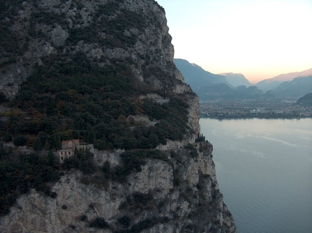
Die Auffahrt durchs beschauliche und landschaftlich reizvolle Valle San Michelle, die Abfahrt auf der klassischen Route zum Passo Nota, danach die mit Singletrail-Passagen gewürzte Strecke nach Pregasina und
zum Schluß auf der Ponale-Straße nach Riva einschweben, dazu immer wieder grandiose Ausblicke auf den See und die umliegenden Berge - die meiner Meinung nach beste Tremalzo-Variante.
Lediglich die 8km Asphalt von Limone nach Vesio nerven ein wenig.
zum Schluß auf der Ponale-Straße nach Riva einschweben, dazu immer wieder grandiose Ausblicke auf den See und die umliegenden Berge - die meiner Meinung nach beste Tremalzo-Variante.
Lediglich die 8km Asphalt von Limone nach Vesio nerven ein wenig.
Further information at
http://www.teutatesonline.netTour gallery
Tour map and elevation profile
Minimum height 74 m
Maximum height 1839 m
More about the tour author

|
Comments
Die Tour startet in Limone und endet in Riva. Zum Transfer zwischen beiden Orten kann man z. B. die Bootsverbindung nutzen.
GPS tracks
Trackpoints-
GPX / Garmin Map Source (gpx) download
-
TCX / Garmin Training Center® (tcx) download
-
CRS / Garmin Training Center® (crs) download
-
Google Earth (kml) download
-
G7ToWin (g7t) download
-
TTQV (trk) download
-
Overlay (ovl) download
-
Fugawi (txt) download
-
Kompass (DAV) Track (tk) download
-
Track data sheet (pdf) download
-
Original file of the author (gpx) download
More about the tour author
|
|
Add to my favorites
Remove from my favorites
Edit tags
Open track
My score
Rate
Tremalzo