


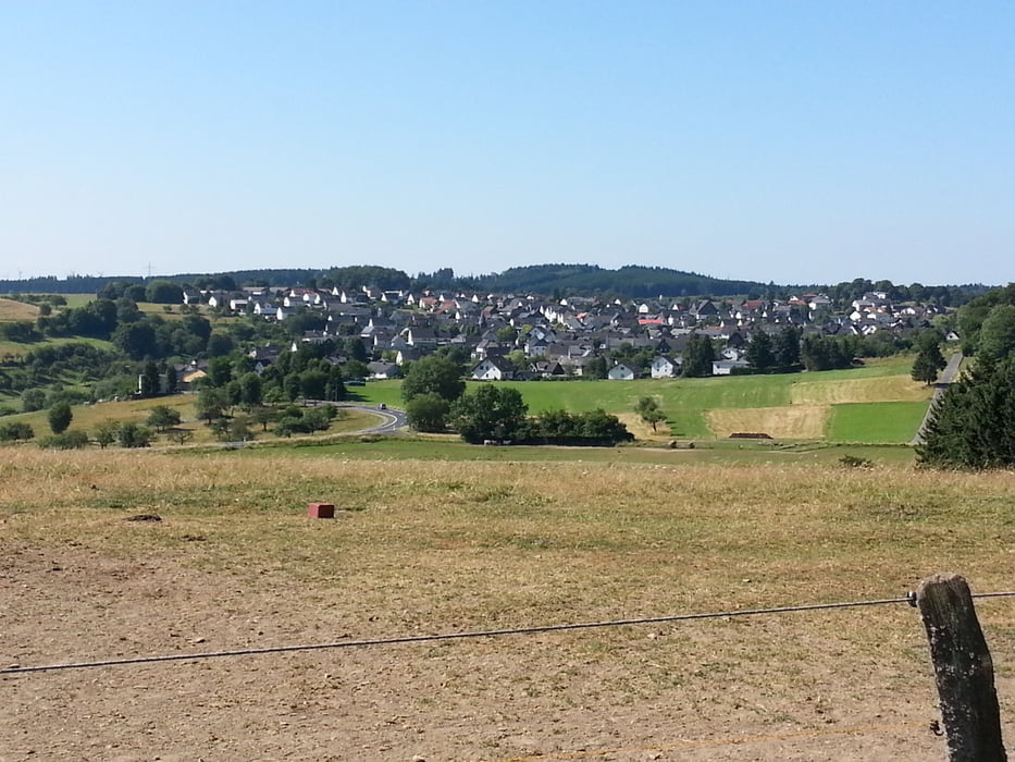
Gestartet von Gönnern übers Forsthaus nach Bottenhorn gefahren. Vor Bottenhorn in Richtung Flugplatz gefahren und weiter in Richtung Wilhelmsteine. Unterhalb von den Wilhelmsteinen nach Tringenstein gefahren. Beim dortigen Steinmetzbetrieb die Landstraße überquert. Am Silbersee vorbei weiter in Irrschelde gefahren und von dort weiter in den Schelderwald. Unterhalb von Hirzenhain/Bahnhof die Landstraße überquert. Über die Schutzhütte Hirzenhain weiter zur Einündung Hirzenhain/Nanzenbach die Landstraße überquert und über den Radweg nach Hirzenhain gefahren. Am Modellflugplatz vorbei weiter auf die Höhe und die Landstraße Oberhörlen/Hirzenhain überquert. Anschließend weiter über die Höhen nach Gönnern gefahren.
Tour gallery


Tour map and elevation profile
Minimum height 327 m
Maximum height 595 m
More about the tour author
|
|
wwwsi07de |
Comments

GPS tracks
Trackpoints-
GPX / Garmin Map Source (gpx) download
-
TCX / Garmin Training Center® (tcx) download
-
CRS / Garmin Training Center® (crs) download
-
Google Earth (kml) download
-
G7ToWin (g7t) download
-
TTQV (trk) download
-
Overlay (ovl) download
-
Fugawi (txt) download
-
Kompass (DAV) Track (tk) download
-
Track data sheet (pdf) download
-
Original file of the author (gpx) download
More about the tour author
|
|
wwwsi07de |
Add to my favorites
Remove from my favorites
Edit tags
Open track
My score
Rate