


Dies ist ein organisiertes Rennen mit 12.500 Anmeldungen. Die Plätze sind meist sehr früh belegt. Diese Jahr war auch wieder Gunn-Rita Dahle Flesjå dabei.
Der Start ist in Egersund. Aufgrund des hohen Andrangs ist es gut außerhalb zu parken. Am Hafen geht es dann im 10 Minuten Rythmus los. Der Start ist abhängig vom Startblock.
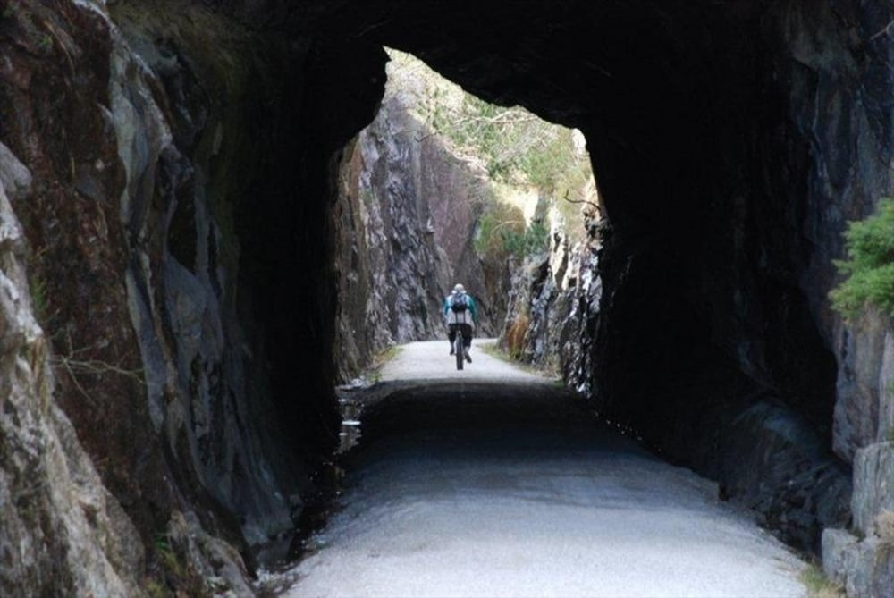
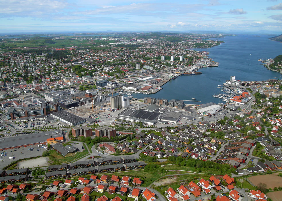
Von Egersund geht es zunächst entlang der Bahnline auf Schotterwegen Richtung Norden bis Hellvik. Von jezt geht es größten Teil auf Asphalt weiter. Ab und zu wechselt der Belag auf Schotter. Der ein oder andere Singletrail ist auch dabei. Das Rennen endet am Hafen von Sandnes. Alle Teilnehmer konnten sich 2013 dort umsonst verpflegen.
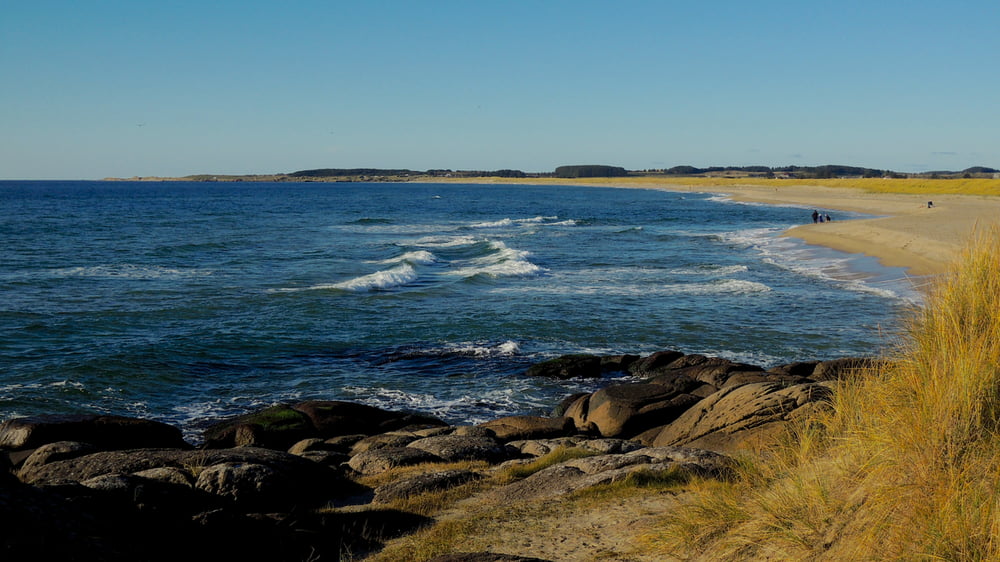
Die Tour macht viel Spass, ist aber recht einfach. Es gibt schöne Ausblicke auf die Nordsee. Abhängig vom Wetter (Wind, Regen) kann die Tour aber auch eine Tortur sein.
Further information at
http://www.nordsjorittet.no/Tour gallery
Tour map and elevation profile
Minimum height
Maximum height 221 m
More about the tour author

|
trailghost |
Comments

Bahn
Mit der Bahn von Stavanger nach Egersund (ca. 1h)
Auto
Auf der E18 und der 42 bis Egersund. Parken ist in einem Gewerbegebiet ca. 3,5km vor Egersund möglich.
GPS tracks
Trackpoints-
GPX / Garmin Map Source (gpx) download
-
TCX / Garmin Training Center® (tcx) download
-
CRS / Garmin Training Center® (crs) download
-
Google Earth (kml) download
-
G7ToWin (g7t) download
-
TTQV (trk) download
-
Overlay (ovl) download
-
Fugawi (txt) download
-
Kompass (DAV) Track (tk) download
-
Track data sheet (pdf) download
-
Original file of the author (gpx) download
More about the tour author
|
|
trailghost |
Add to my favorites
Remove from my favorites
Edit tags
Open track
My score
Rate