


Das ist der zweite Tag unserer Tour an Ahr und Rhein. Die Gesamttour ist in der ersten Etappe erklärt.
www.gps-tour.info/de/touren/detail.121127.html
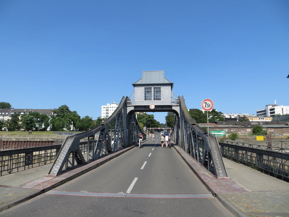
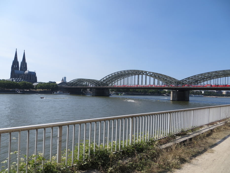
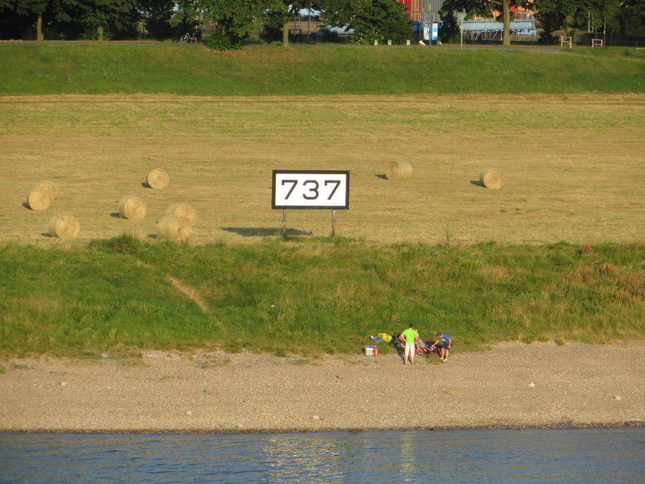
Start ist der Rheinkiometer 625, auch wenn wir nur 626 fotografiert haben. Den Rhein verlassen wir auf der Südbrücke (JKFB) mit Blick auf Rhein.Km 737.
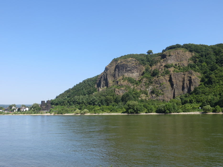
Dieser Tag beginnt in Bad Breisig und führt den Rhein flussabwärts. Bis Königswinter wählten wir den Rheinradweg linksrheinisch und ab dort rechtsrheinisch. Die gesamte Tour ist interessant und reizvoll.
Nördlich von Köln ist allerdings dringend Bedarf in der Beschilderung gegeben. Und warum Leverkusen und Monheim fahrradfreundliche Städte sein sollen, hat sich uns aufgrund der teilweise gefährlichen und schlecht beschilderten Wegführung nicht erschlossen.
Was solls: es hat Spaß gemacht.
Further information at
/en/tracks/detail.121127.htmlTour gallery
Tour map and elevation profile
Minimum height 29 m
Maximum height 78 m
More about the tour author
|
|
Schiller1963 |
Comments

Endpunkt S-Bahnhof Kaarst-Büttgen. Unser eigentliches Ziel Mönchengladbach Hbf mussten wir leider aufgeben, da unser Material nicht mitspielte.
GPS tracks
Trackpoints-
GPX / Garmin Map Source (gpx) download
-
TCX / Garmin Training Center® (tcx) download
-
CRS / Garmin Training Center® (crs) download
-
Google Earth (kml) download
-
G7ToWin (g7t) download
-
TTQV (trk) download
-
Overlay (ovl) download
-
Fugawi (txt) download
-
Kompass (DAV) Track (tk) download
-
Track data sheet (pdf) download
-
Original file of the author (gpx) download
More about the tour author
|
|
Schiller1963 |
Add to my favorites
Remove from my favorites
Edit tags
Open track
My score
Rate