

Verso orario – km 36 – dislivello 1500m. – Altezza min.1154m / max.1520m
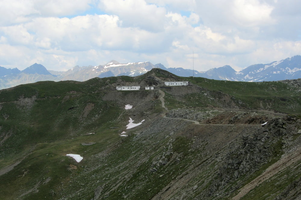
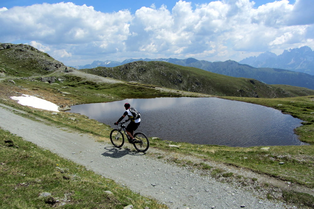
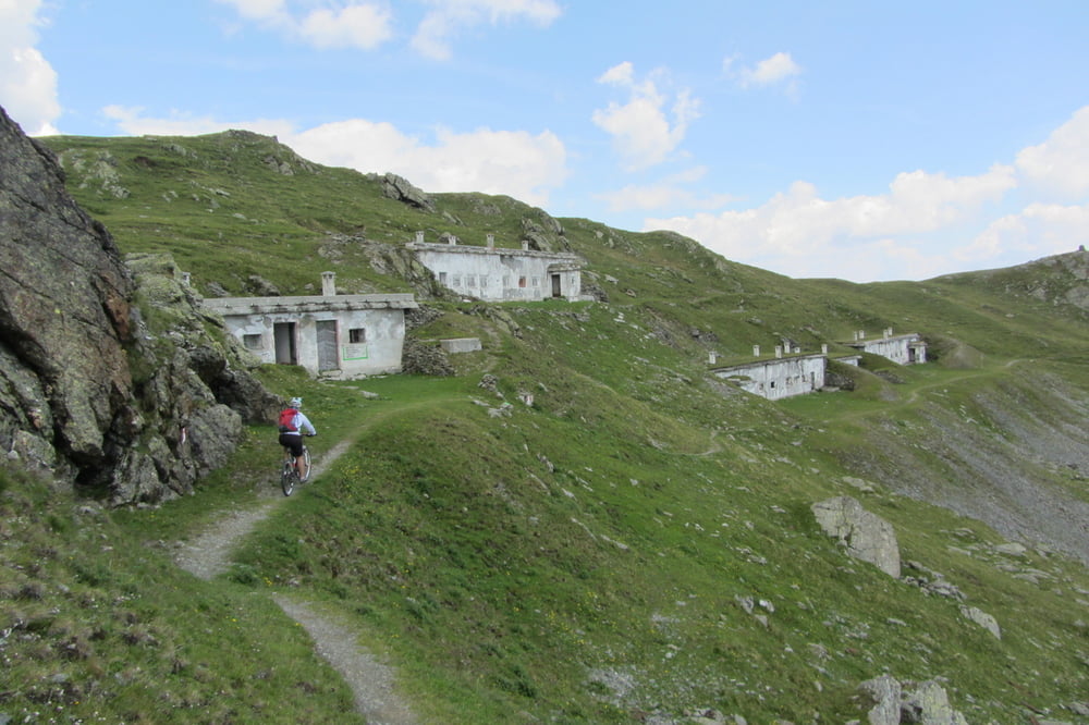
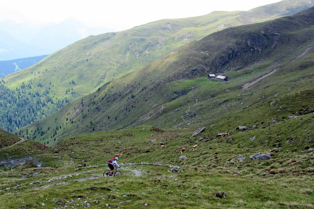
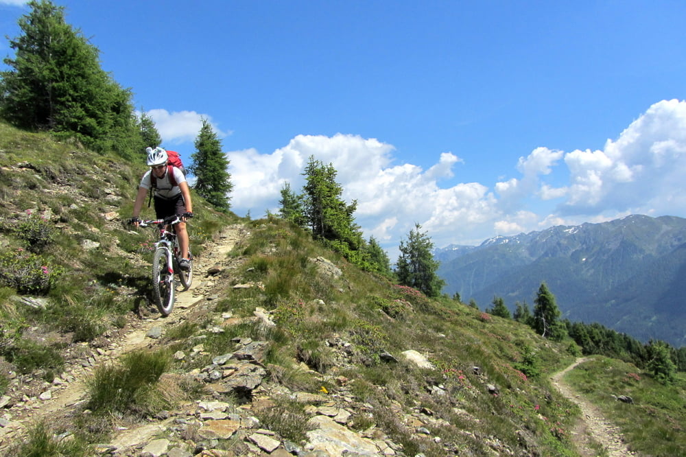
Giro faticoso ma spettacolare per i panorami che regala per quasi tutta la sua durata. Si parte da Versciaco ed in 20km di salita, prima su bei sterrati e poi su mulattiera militare, si arriva al Cornetto di Confine (Marchinkele m1520m) da dove si apre uno splendido panorama a 360°. Si rimane in quota sul sentiero n°10 che prosegue in leggera salita fino ad incrociare il segnavia del sentiero CAI 3 ( way point B01) verso S.Candido che si prende in discesa dopo aver superato alcuni ostacoli. Si percorre un divertente single trail di media difficoltà (S1/S2) che lasceremo a favore del sentiero 3A, sempre su single trail fino alla frazione di Waldrhue poco prima di Prato alla Drava. Scesi al pittoresco paese, si prende la pista ciclabile che velocemente ci riporta al parcheggio.
Tour gallery
Tour map and elevation profile
Minimum height 1154 m
Maximum height 2529 m
More about the tour author
|
|
GIGINATY |
Comments

GPS tracks
Trackpoints-
GPX / Garmin Map Source (gpx) download
-
TCX / Garmin Training Center® (tcx) download
-
CRS / Garmin Training Center® (crs) download
-
Google Earth (kml) download
-
G7ToWin (g7t) download
-
TTQV (trk) download
-
Overlay (ovl) download
-
Fugawi (txt) download
-
Kompass (DAV) Track (tk) download
-
Track data sheet (pdf) download
-
Original file of the author (gpx) download
More about the tour author
|
|
GIGINATY |
Add to my favorites
Remove from my favorites
Edit tags
Open track
My score
Rate