
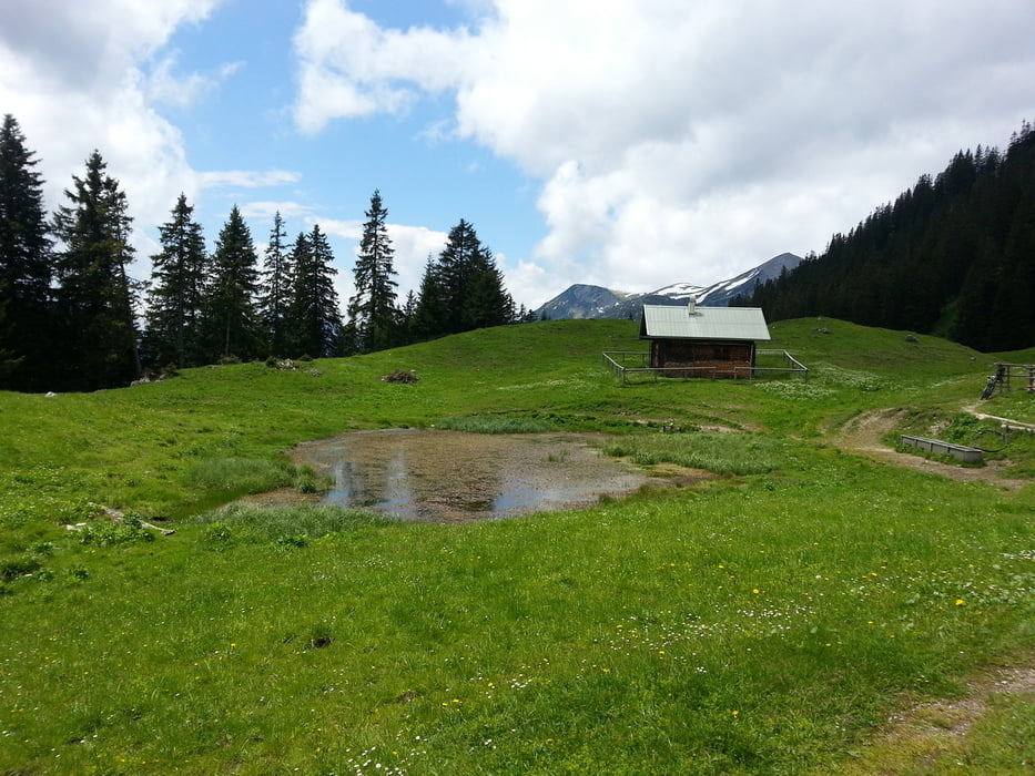

Von Ettal über die Ennigalm zur Rotmoosal und von dort über Graswang auf den Brunnenkopf. Die letzten ca. 400hm hoch zum Brunnkopf sind zwar fahrbar, aber wirklich steil.
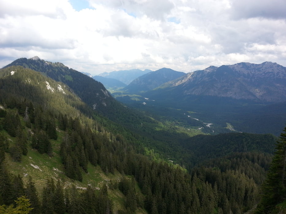
Tour gallery
Tour map and elevation profile
Minimum height 657 m
Maximum height 1624 m
More about the tour author
|
|
branco68 |
Comments
Von Augsburg über B17/B23 nach Ettal.
GPS tracks
Trackpoints-
GPX / Garmin Map Source (gpx) download
-
TCX / Garmin Training Center® (tcx) download
-
CRS / Garmin Training Center® (crs) download
-
Google Earth (kml) download
-
G7ToWin (g7t) download
-
TTQV (trk) download
-
Overlay (ovl) download
-
Fugawi (txt) download
-
Kompass (DAV) Track (tk) download
-
Track data sheet (pdf) download
-
Original file of the author (gpx) download
More about the tour author
|
|
branco68 |
Add to my favorites
Remove from my favorites
Edit tags
Open track
My score
Rate
Tour
Nach Ettal würde ich über die alte Ettalerstraße fahren, so spart man sich die Bundesstraße:
https://maps.google.de/maps?saddr=Alte+Bergstra%C3%9Fe&daddr=Unbekannte+Stra%C3%9Fe&hl=de&ie=UTF8&ll=47.561802,11.108723&spn=0.011555,0.027874&sll=47.558298,11.118819&sspn=0.005778,0.013937&geocode=FafI1QId02CpAA%3BFTix1QIdKampAA&dirflg=w&mra=mift&mrsp=1&sz=17&t=m&z=16