


Der "Grieser Gletschermarsch" ist eine hochalpine Bergwanderung (Rundtour), die teils auf gut markierten Alpenvereinswegen, aber auch über Geröll, teils weglos über Schneefelder und den Bachfallen-Gletscher, sowie eine drahtseilversicherten Passage auf eine Höhe von 3.055 m führt.
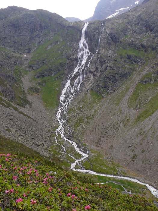
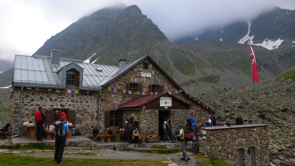
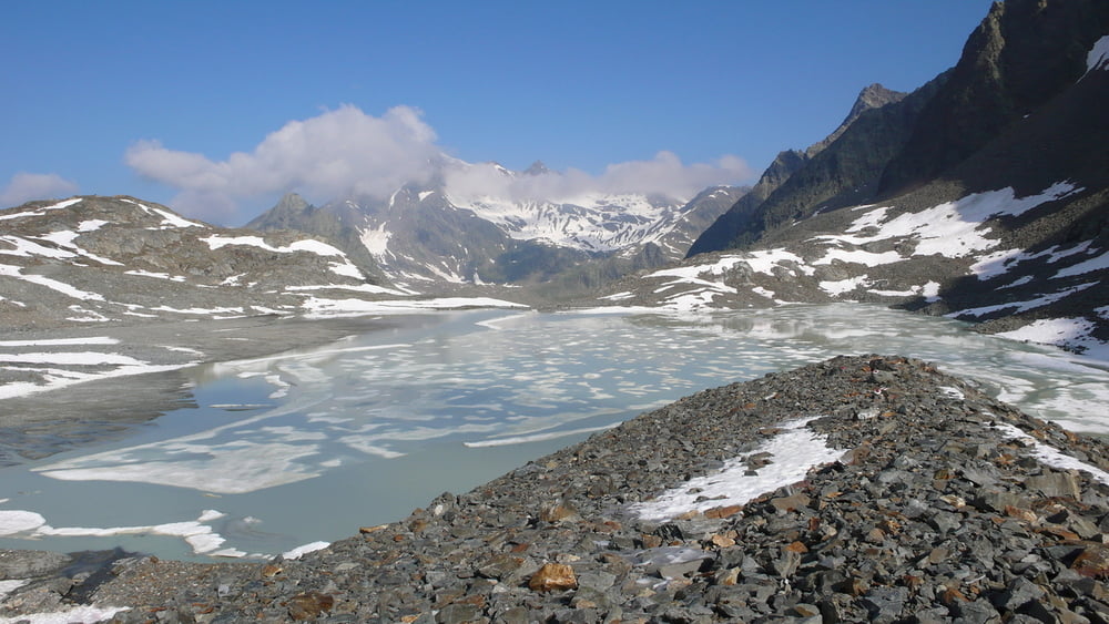
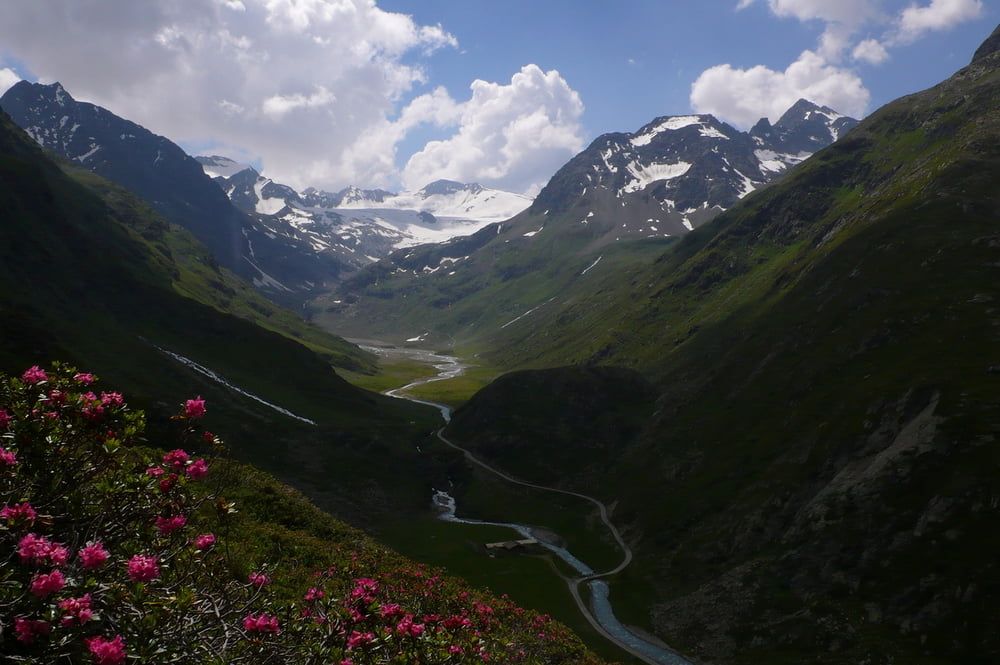
Die abwechslungsreiche Tour bietet so ziemlich alles, was das Bergwanderer-Herz erfreut: Gebirgsbäche, Wasserfälle, (Gletscher-)Seen, Blumenwiesen, Almrausch, Felskontakt (mit "Kraxel"-Einlage), Gipfelschau, (Alm-)Hütten.
Erforderlich sind: Kondition, Trittsicherheit, Schwindelfreiheit und Orientierungssinn.
Start/Ziel: Gries im Sulztal (ein Nebental des Ötztals)
Wegpunkte: Winnebachseehütte (2362m) - Ernst-Riml-Spitze (2507m) - Bachfallenferner (2800m) - Gaislehnscharte (3055m - höchster Punkt) - Hintere Sulztal-Alm
Further information at
http://www.oetztal.com/main/DE/SO/wandern_bergerlebnis/themenwanderungen/griesser_gletschermarsch/index.htmlTour gallery
Tour map and elevation profile
Minimum height 1593 m
Maximum height 3053 m
More about the tour author

|
BG69 |
Comments

Ötztal (Richtung Timmelsjoch), in Längenfeld nach links abbiegen und über eine Serpentinenstraße bergauf bis Gries (im Sulztal) fahren.
Der "Haupt"straße bis zum Ende folgen, dort gibt es einen Parkplatz.
GPS tracks
Trackpoints-
GPX / Garmin Map Source (gpx) download
-
TCX / Garmin Training Center® (tcx) download
-
CRS / Garmin Training Center® (crs) download
-
Google Earth (kml) download
-
G7ToWin (g7t) download
-
TTQV (trk) download
-
Overlay (ovl) download
-
Fugawi (txt) download
-
Kompass (DAV) Track (tk) download
-
Track data sheet (pdf) download
-
Original file of the author (gpx) download
More about the tour author
|
|
BG69 |
Add to my favorites
Remove from my favorites
Edit tags
Open track
My score
Rate