

Verso orario - km 32 - Disl. 1600 - Altezza min.556 / max.1970m
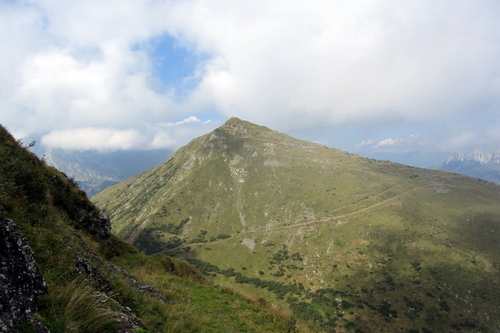
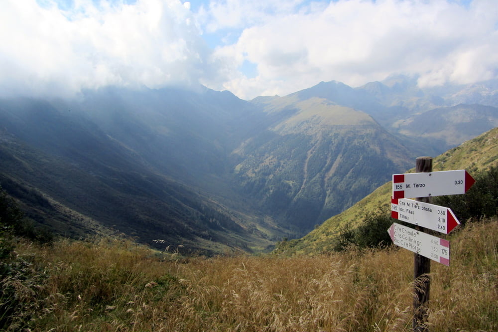
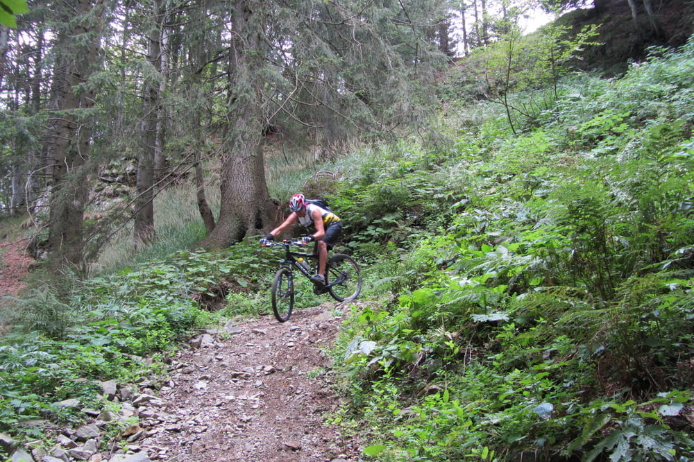
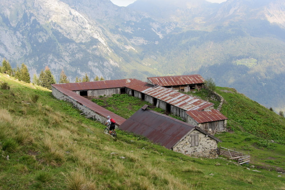
Questo itinerario prende l'avvio da Cercivento di sotto, sale al monte Tenchia e scende dal versante opposto sotto al monte Terzo che può essere raggiunto a piedi dalla forcella omonima con un dislivello di 150m. Escursione appagante sia dall'aspetto ciclistico con i suoi 17Km di salita mai estremamente pendente e discese su sterrati e single track divertenti che dall'aspetto paesaggistico alpino che con continui cambi di versante rivela immensi panorami che spaziano sulle cime più alte delle alpi carniche. Km 33 dislivello 1600m
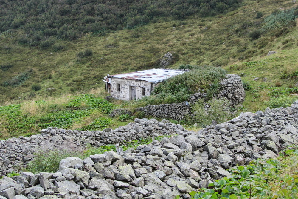
Tour gallery
Tour map and elevation profile
Minimum height 556 m
Maximum height 1971 m
More about the tour author
|
|
GIGINATY |
Comments

GPS tracks
Trackpoints-
GPX / Garmin Map Source (gpx) download
-
TCX / Garmin Training Center® (tcx) download
-
CRS / Garmin Training Center® (crs) download
-
Google Earth (kml) download
-
G7ToWin (g7t) download
-
TTQV (trk) download
-
Overlay (ovl) download
-
Fugawi (txt) download
-
Kompass (DAV) Track (tk) download
-
Track data sheet (pdf) download
-
Original file of the author (gpx) download
More about the tour author
|
|
GIGINATY |
Add to my favorites
Remove from my favorites
Edit tags
Open track
My score
Rate