


Start und Ziel: Zell am See
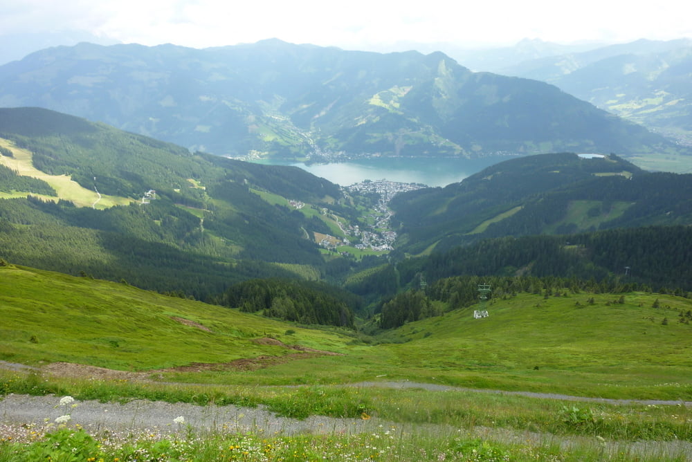
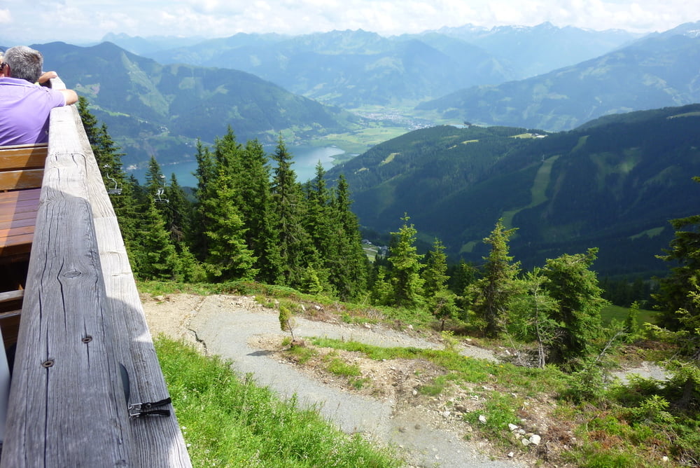
Schüttendorf, Piesendorf bis Walchen. Auf diesem Weg haben wir bzgl. Radweg etwas herumgesucht . . Pause bei Hochsonnbergalm (1841m), Schmittenhöhe (1965m), Hochzeller Alm, Sonnkogel (1856m), Hochfalleck, Zell am See
Rundfahrt in dieser Richtung in meinen Augen ideal, da Anstieg nicht so steil . .
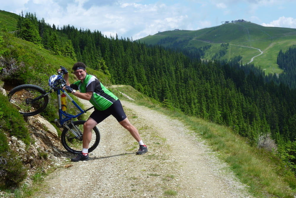
Überall auf der Strecke wunderschöne Weitblicke und gute Beschilderungen !
Schüttendorf, Piesendorf bis Walchen. Auf diesem Weg haben wir bzgl. Radweg etwas herumgesucht . . Pause bei Hochsonnbergalm (1841m), Schmittenhöhe (1965m), Hochzeller Alm, Sonnkogel (1856m), Hochfalleck, Zell am See
Rundfahrt in dieser Richtung in meinen Augen ideal, da Anstieg nicht so steil . .
Überall auf der Strecke wunderschöne Weitblicke und gute Beschilderungen !
Tour gallery
Tour map and elevation profile
Minimum height 667 m
Maximum height 1965 m
More about the tour author
|
|
chrissi9900 |
Comments

GPS tracks
Trackpoints-
GPX / Garmin Map Source (gpx) download
-
TCX / Garmin Training Center® (tcx) download
-
CRS / Garmin Training Center® (crs) download
-
Google Earth (kml) download
-
G7ToWin (g7t) download
-
TTQV (trk) download
-
Overlay (ovl) download
-
Fugawi (txt) download
-
Kompass (DAV) Track (tk) download
-
Track data sheet (pdf) download
-
Original file of the author (gpx) download
More about the tour author
|
|
chrissi9900 |
Add to my favorites
Remove from my favorites
Edit tags
Open track
My score
Rate